


 Entertainment
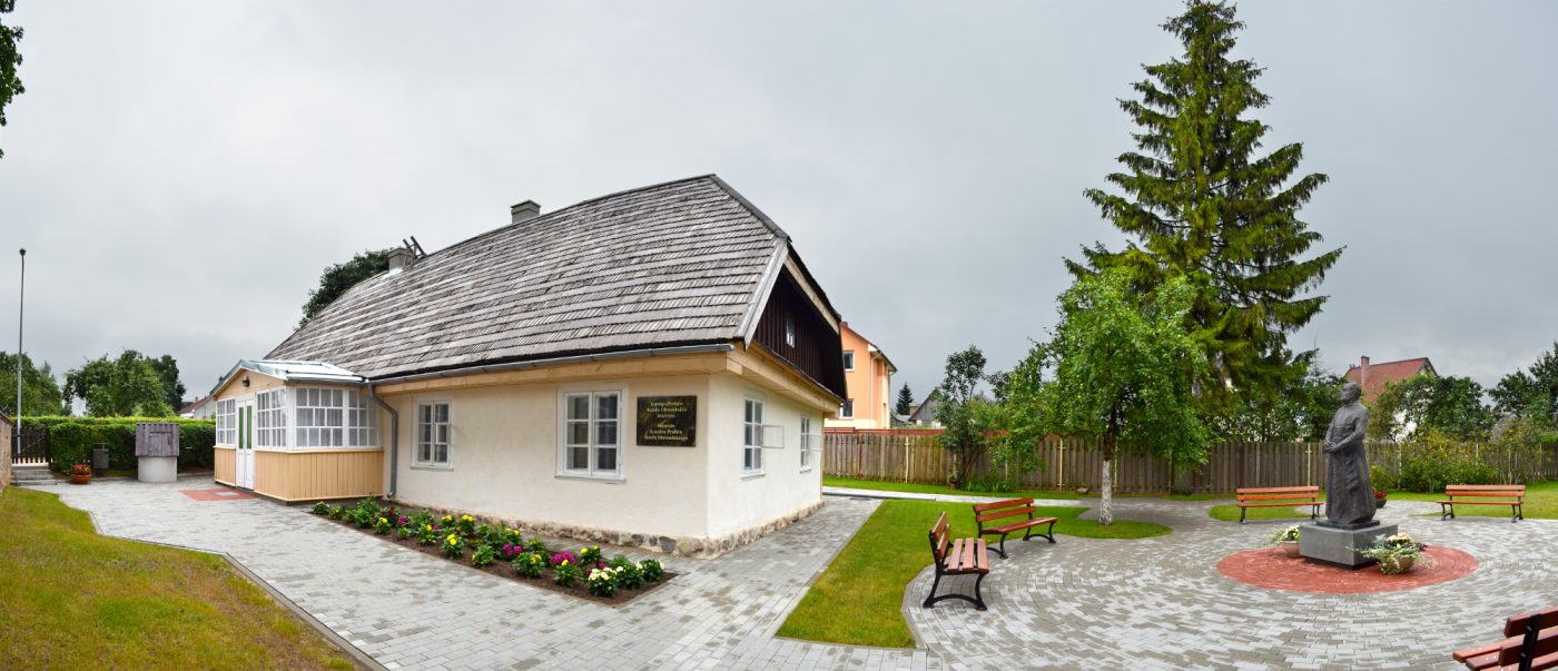
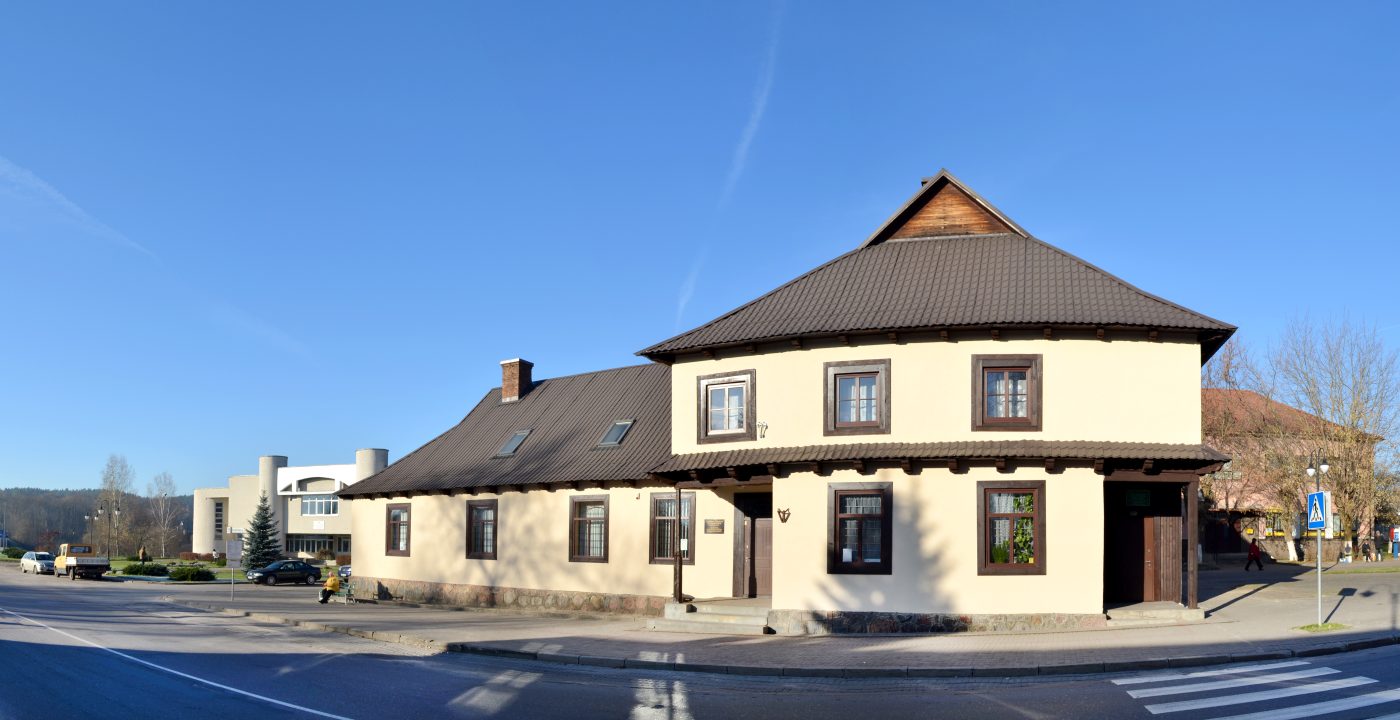
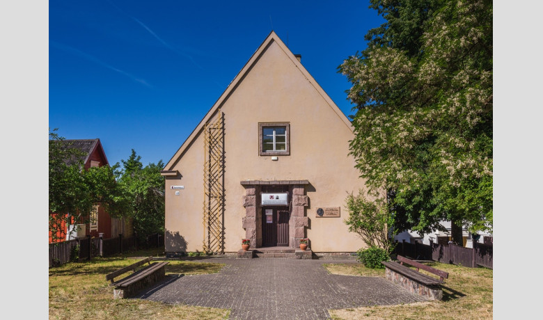
 Sightseeing
 Food establishments


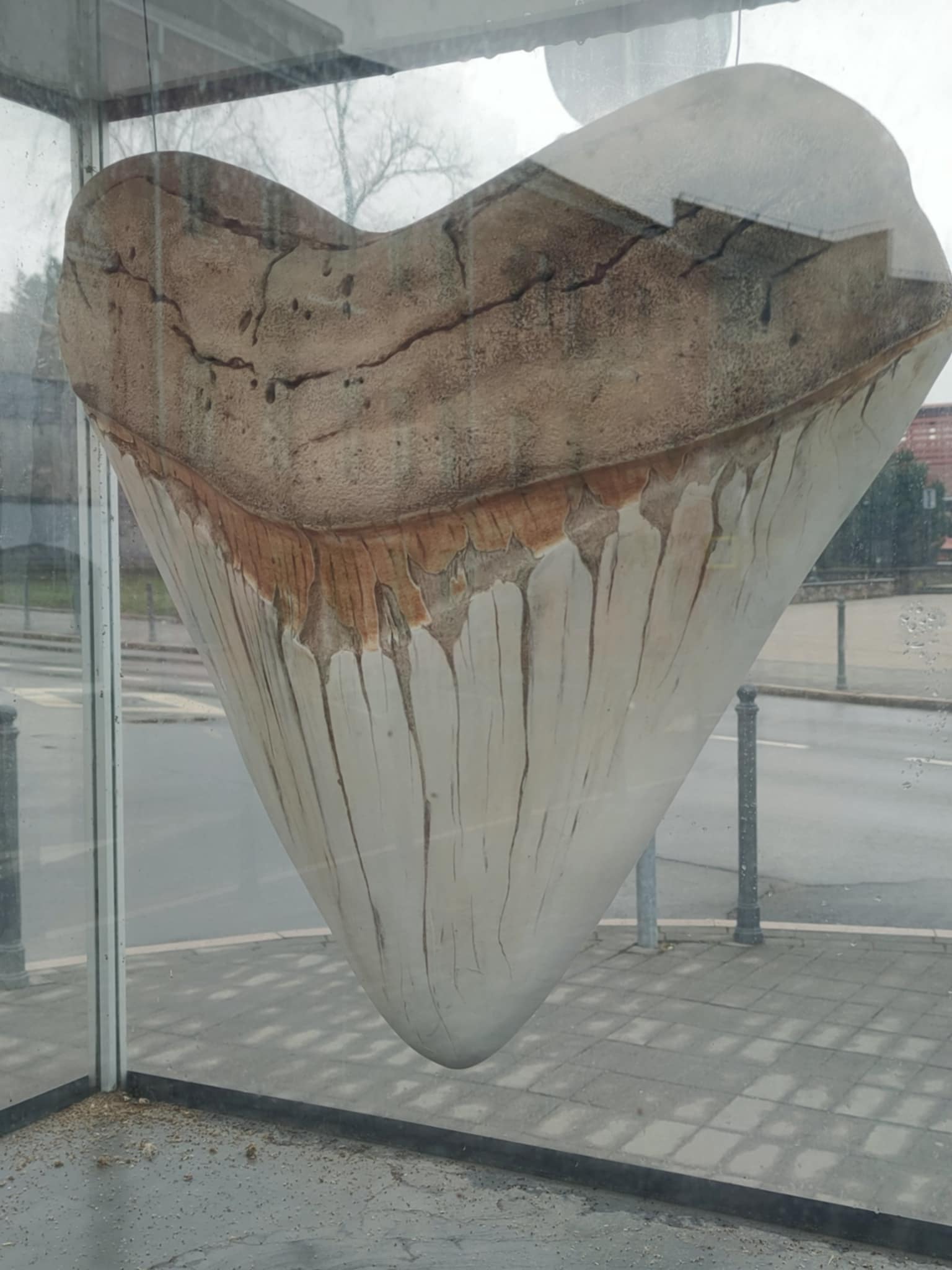
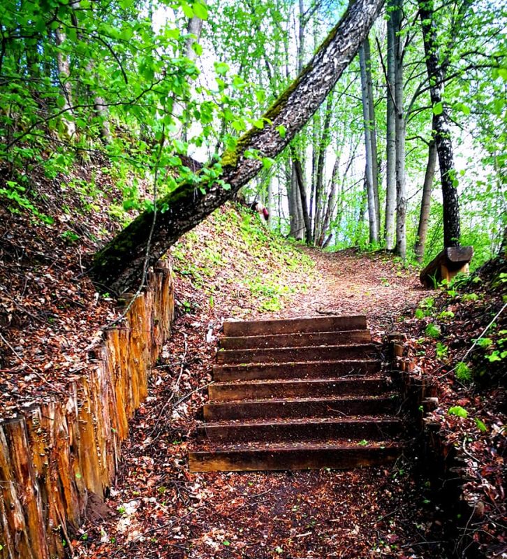
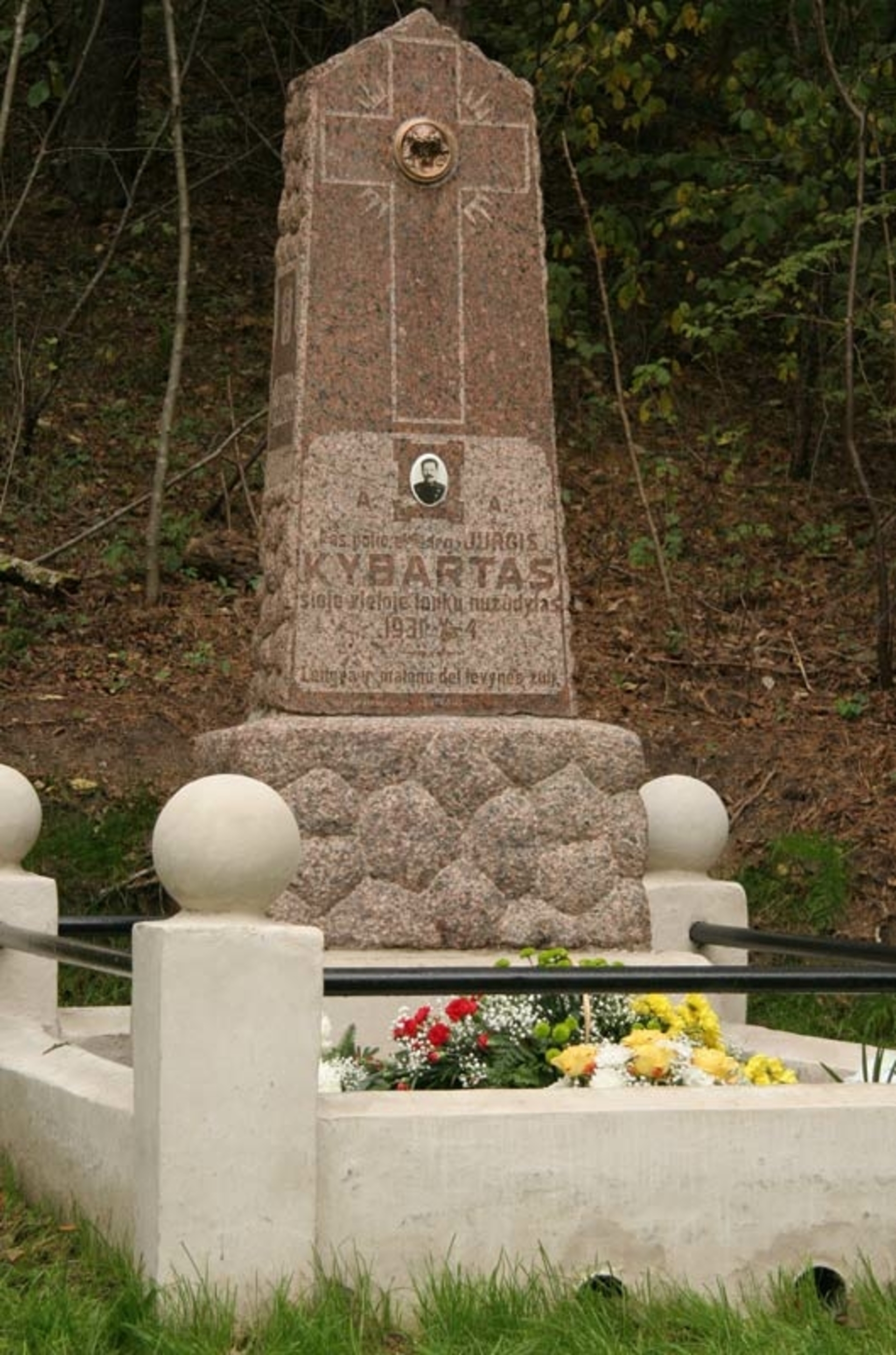
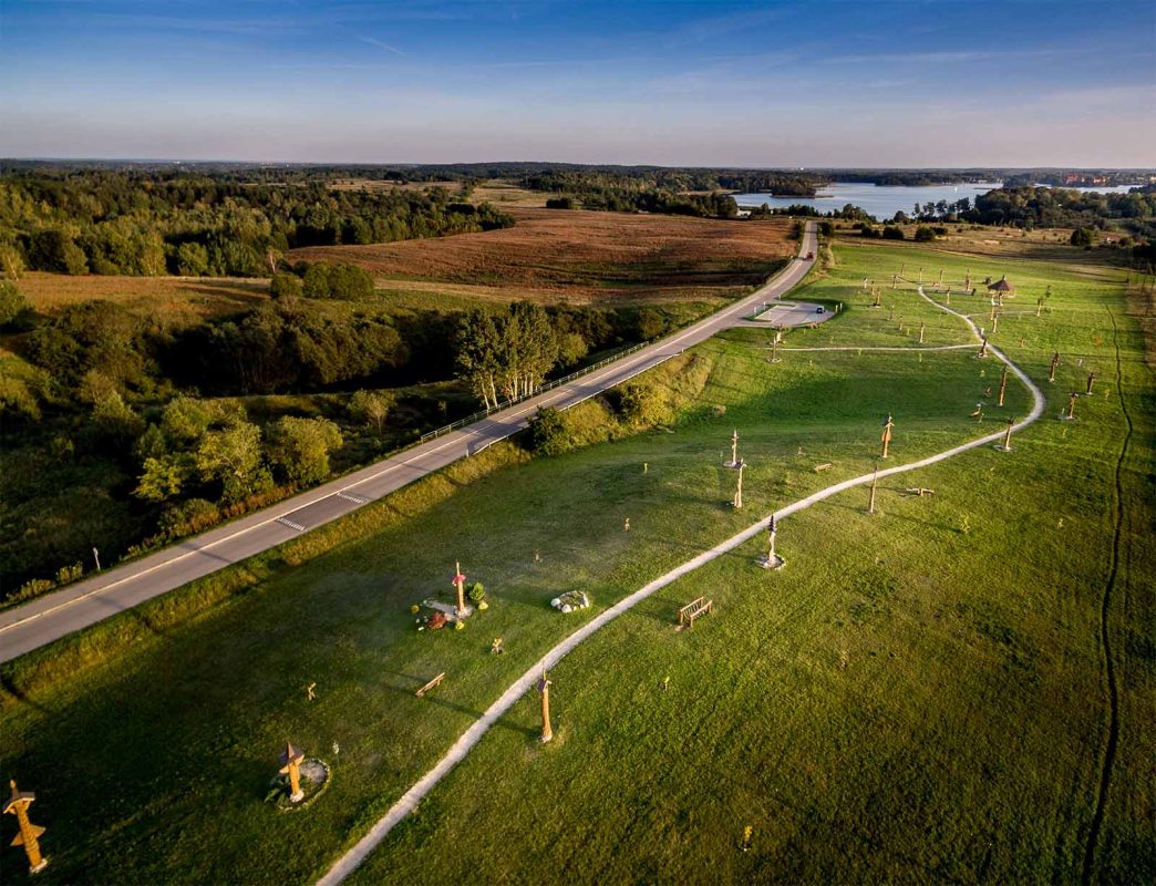
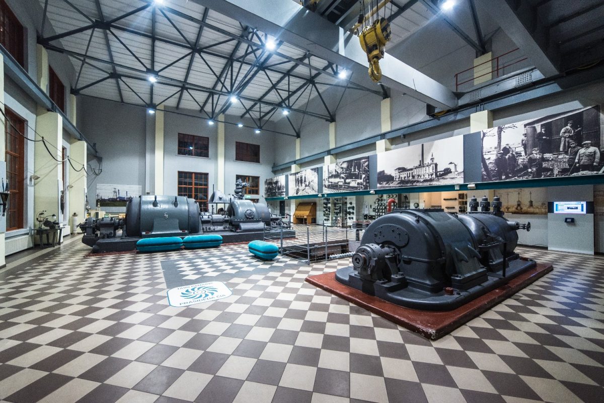
Mažoji Riešė Hillfort

166

0

0
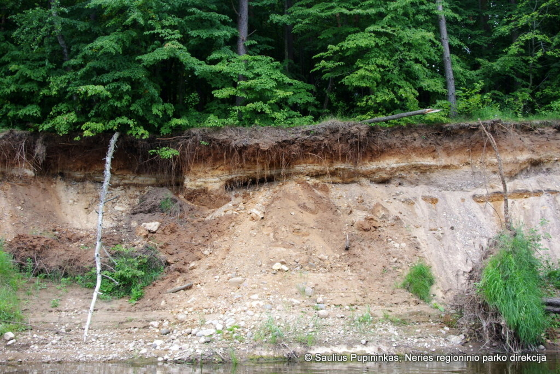
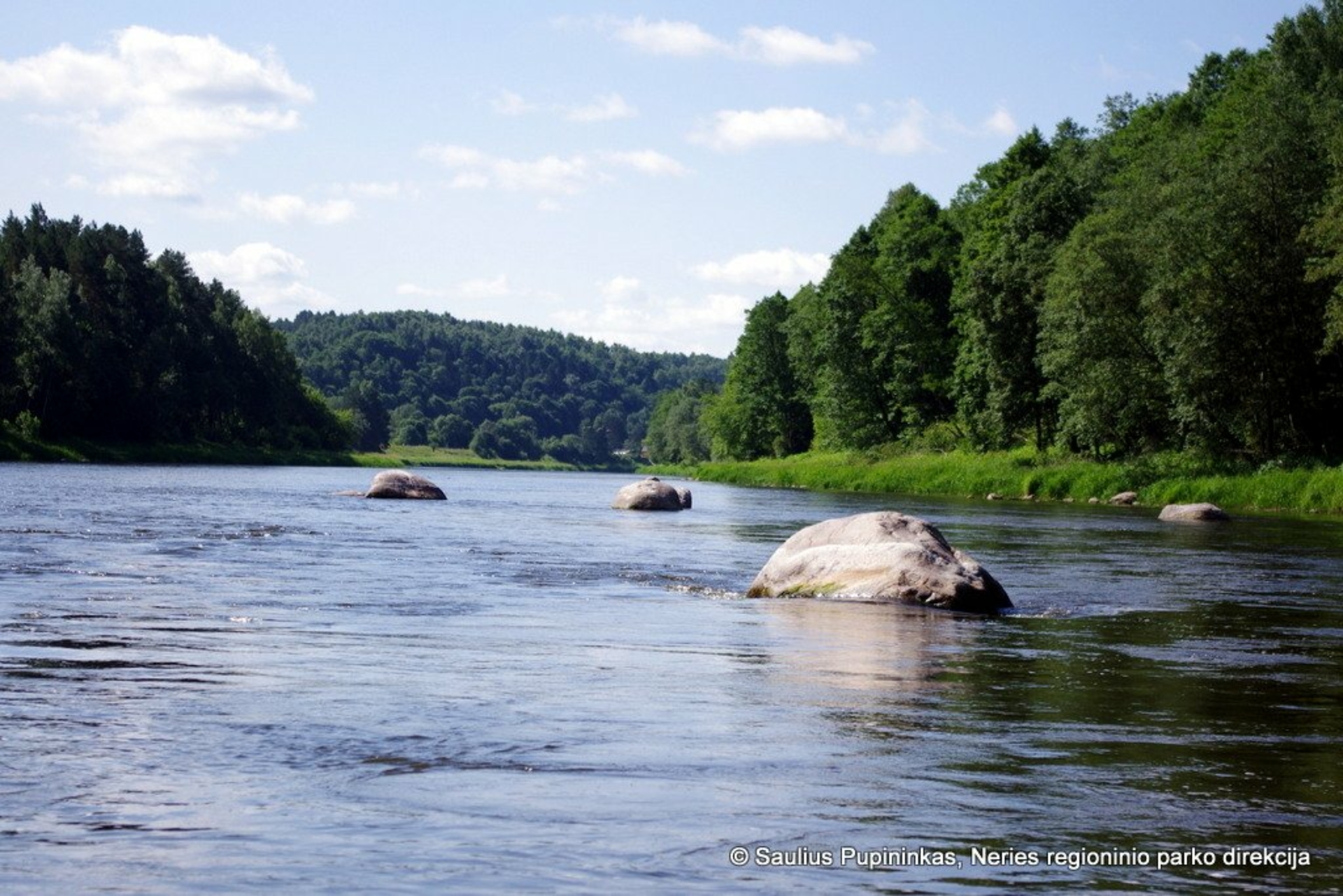
The triangular platform, oriented north-south, measures 32 meters in length and widens to 45 meters at its northern end. The northern edge stands 1.5 meters higher. To the northeast, there is a 65-meter-long, 1-meter-high, and 8-meter-wide embankment, with its outer slope rising to 3 meters in height. On the northwest slope, just 1.5 meters below the platform, there is a slight terrace, likely the remnants of an ancient entrance. To the north and east of the hillfort's summit, a depression up to 4 meters deep and 20 meters wide defines the slopes, varying in steepness from 4 meters in the northeast to 20 meters high.
Info
 54.808306, 25.202028
Whats new?
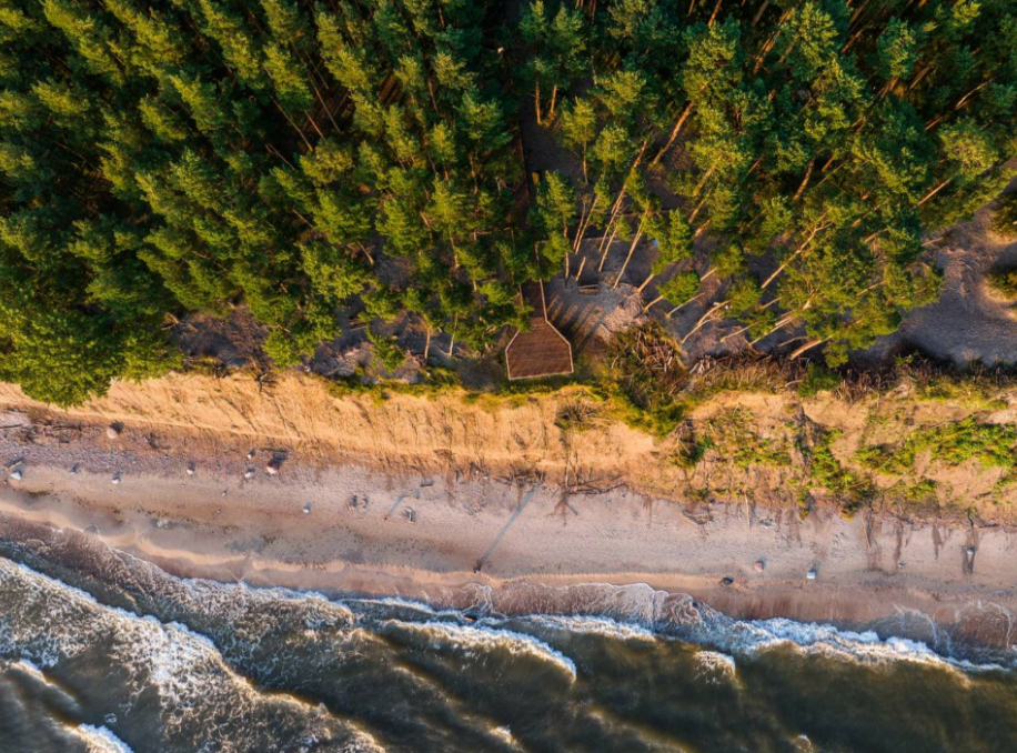
Three impressive Baltic seaside spots: Olando Kepurė, Veczemē Cliffs, Pakri Cliffs
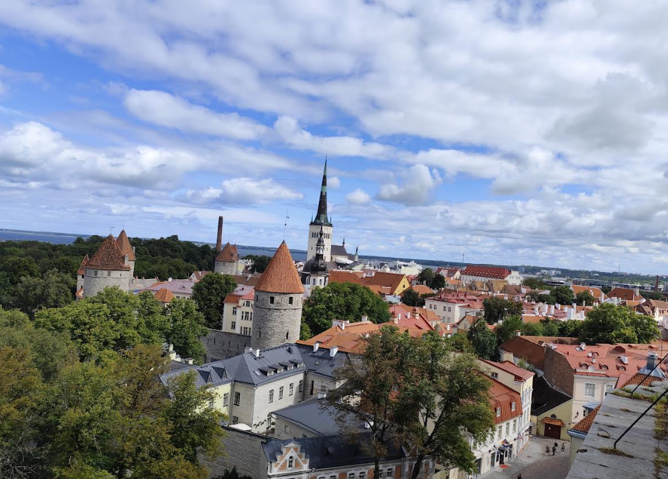
Discover Tallinn Old Town with MyTravis: a medieval spirit that surprises you at every step
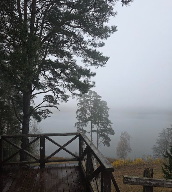
Women's hike through the mystery of the fog from Ginučiai Hillfort to Ladakalnis
The first women’s hiking club hike in Marcinkonys: nature’s beauty, legends, and togetherness in Dzūkija
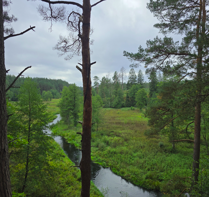
Nature Trails in the Pärnu Region: A Journey Through Estonia’s Natural Treasures
Šiauliai Chestnut Alley – a place where dozens of chestnut trees bloom
Kulautuva – the Pearl of the Nemunas Shore: What to See and Do?
Kauko Stairs in Kaunas – Woven with Myths and Natural Beauty
Kaunas Beast: A City Symbol Shrouded in Legends
Nearby attractions


.jpg)
Nearest museums


Nearest entertainment

Info
Mytravis
Cities
A life full of travel is a source of good mood!
© 2026 MyTravis - All rights reserved | Privacy policy
