Entertainment
 Food establishments


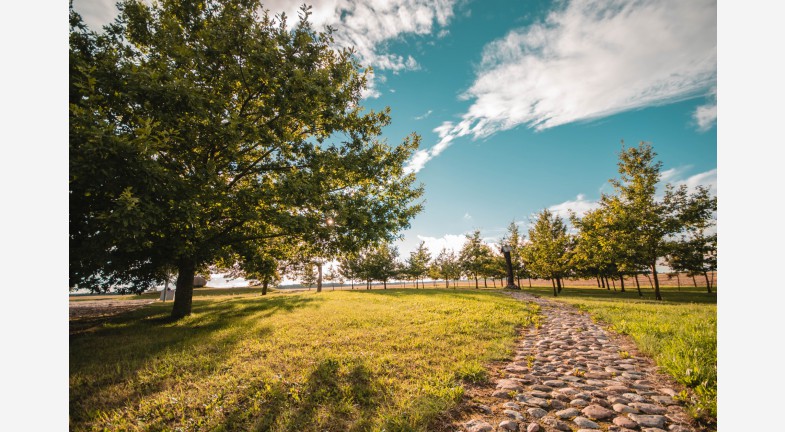
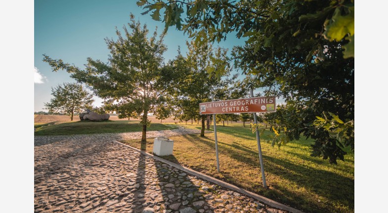
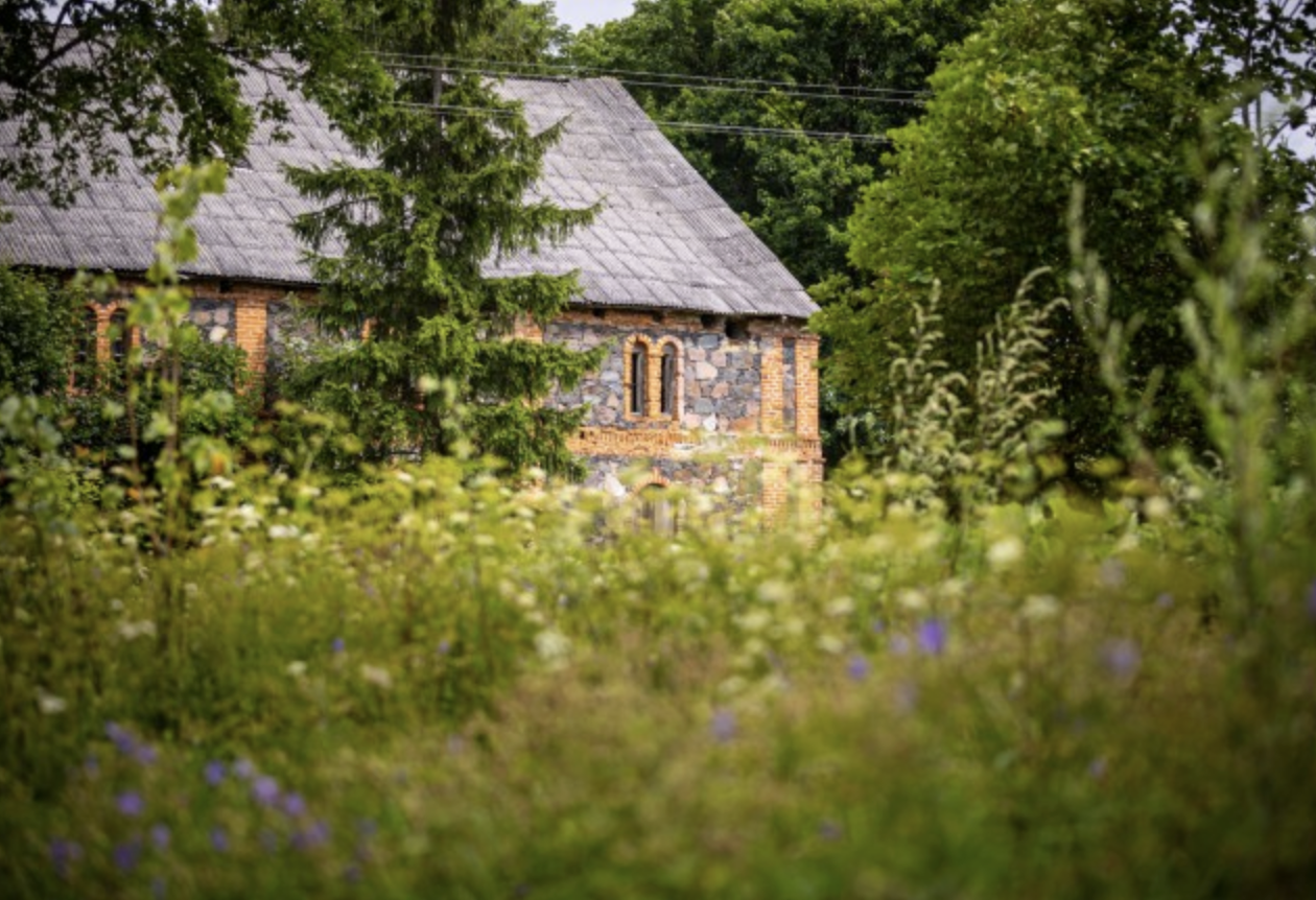
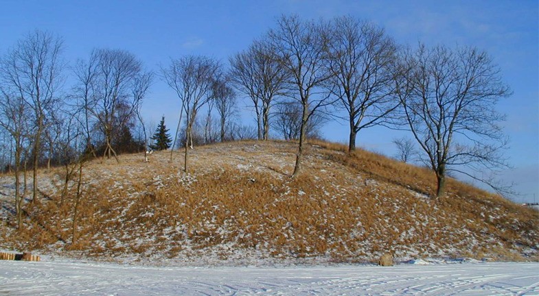
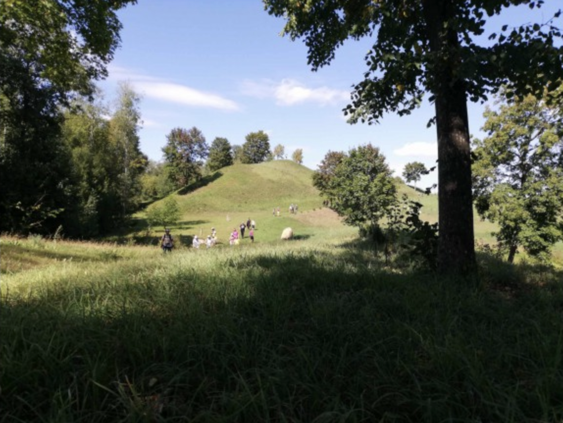
Geographical Center of Lithuania and the Lithuanian Stonehenge

1739

6

7
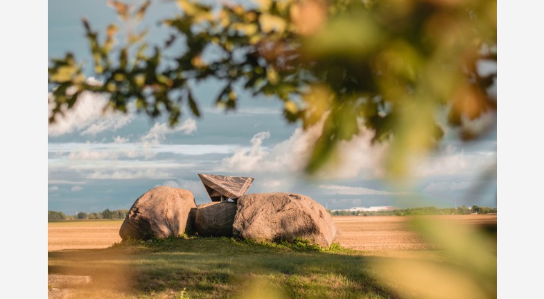
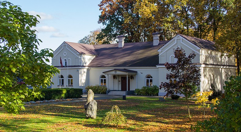
In 1995, the geographical center of Lithuania was officially determined in Ruoščiai village, Kėdainiai district (55°19’ N, 23°54’ E). It is marked by a large fieldstone symbolizing the central point of the country. Later, following a design by architect Vytautas Kundrotas, two additional stones were placed at the site to represent the regions of Žemaitija and Aukštaitija. In 2009, a granite plaque with the exact coordinates was installed.
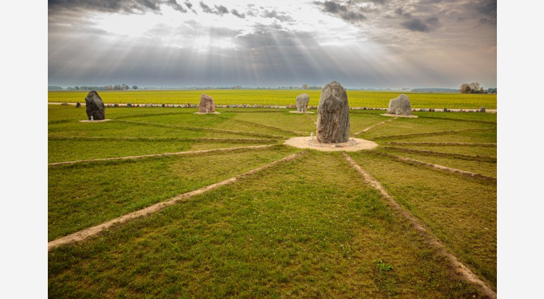
In 2021, a new tourist attraction called the "Flower of Love and Peace" was introduced at the Lithuanian geographical center. Resembling Stonehenge, it consists of a circle of twelve fieldstones, each 36 cm in diameter, with a thirteenth stone at the center. This symbolic arrangement invites visitors to admire the landscape and experience the spirit of the place.
Info
-

Unique places
-

 55.330112, 23.905702


Whats new?
Three impressive Baltic seaside spots: Olando Kepurė, Veczemē Cliffs, Pakri Cliffs
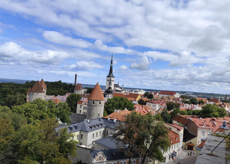
Discover Tallinn Old Town with MyTravis: a medieval spirit that surprises you at every step
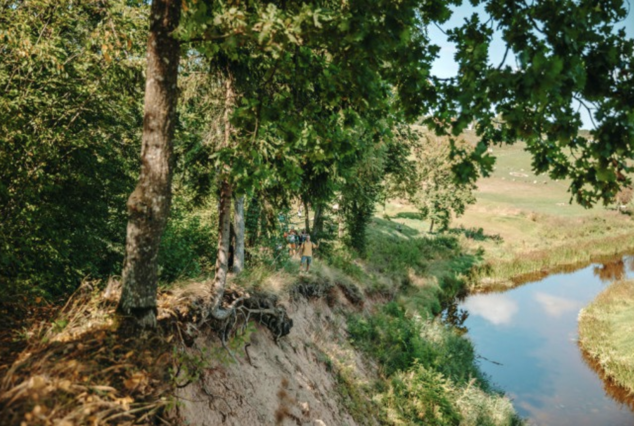
Women's hike through the mystery of the fog from Ginučiai Hillfort to Ladakalnis
The first women’s hiking club hike in Marcinkonys: nature’s beauty, legends, and togetherness in Dzūkija

Nature Trails in the Pärnu Region: A Journey Through Estonia’s Natural Treasures
Šiauliai Chestnut Alley – a place where dozens of chestnut trees bloom
Kulautuva – the Pearl of the Nemunas Shore: What to See and Do?
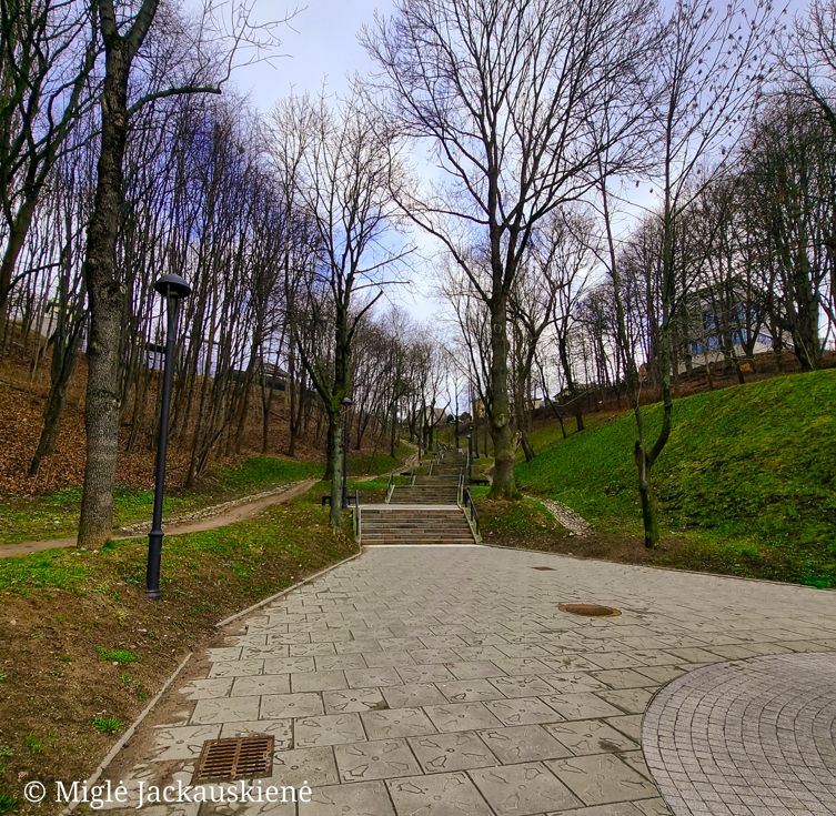
Kauko Stairs in Kaunas – Woven with Myths and Natural Beauty
Kaunas Beast: A City Symbol Shrouded in Legends
Nearby attractions


Nearest museums


Info
Mytravis
Cities
A life full of travel is a source of good mood!
© 2026 MyTravis - All rights reserved | Privacy policy