Entertainment
 Sightseeing
 Food establishments


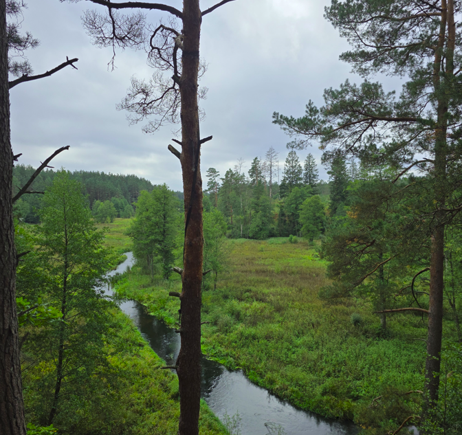
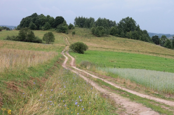
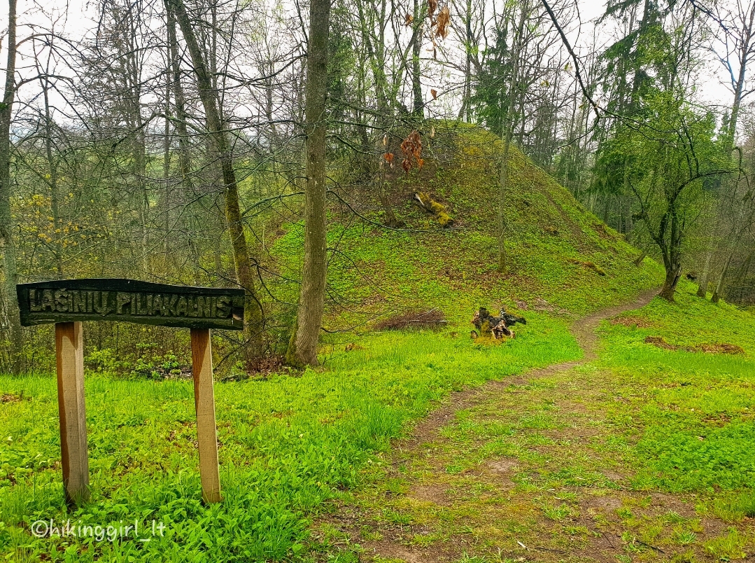
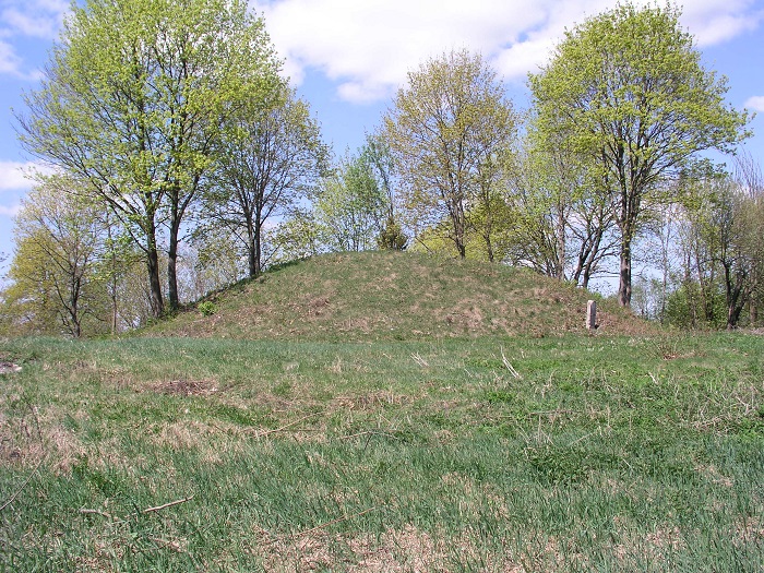
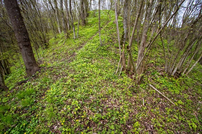
Būtkiemis Hillfort

885

0

0
The hillfort is located on a separate hill on a highland promontory. The original platform was small, with a high, 17-meter-wide rampart built on the northern side, whose ends gradually surrounded the entire platform. Thus, the hillfort appeared to have a sunken top. In 1969, during the preparation of the platform for dances, the rampart made of gravel was leveled with a bulldozer, leaving the hillfort in the shape of a truncated cone with an oval platform of 16×18 meters and remains of a 0.5-meter-high rampart on the northern side. The slopes are steep, 8 meters high, with the northern slope being only 1.5 meters high as the rampart was leveled on this side.
 54.733667, 24.282389
Whats new?
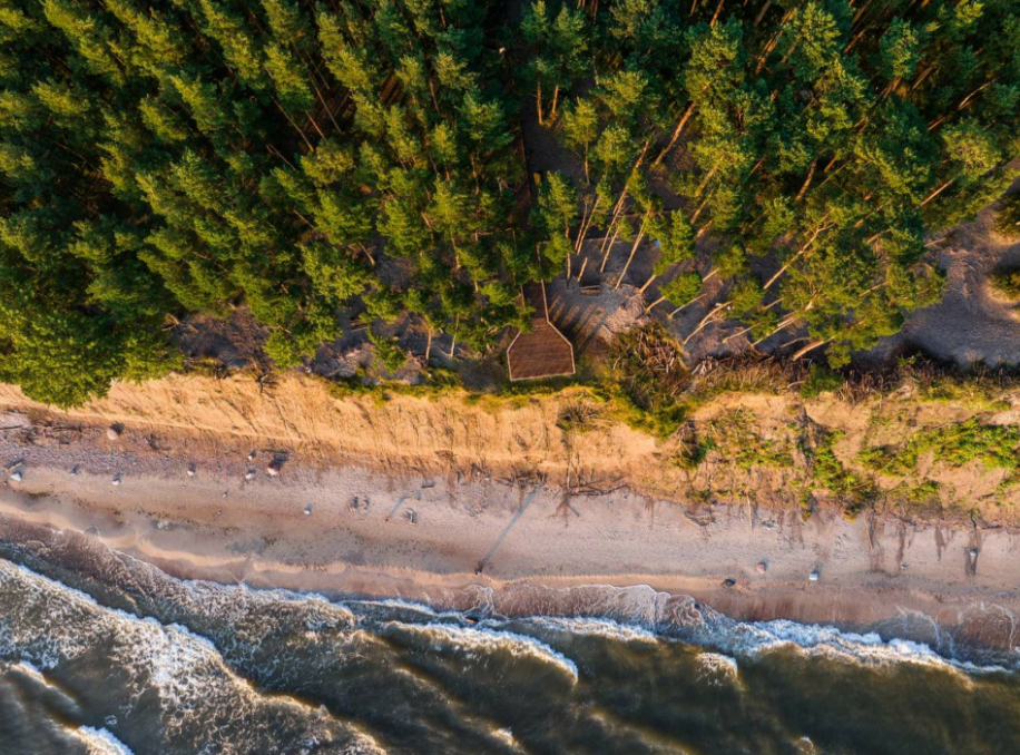
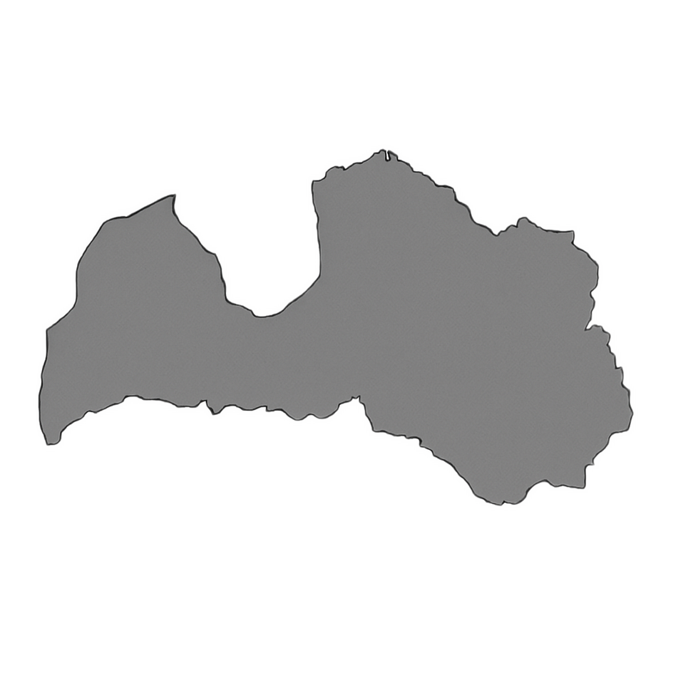
Three impressive Baltic seaside spots: Olando Kepurė, Veczemē Cliffs, Pakri Cliffs
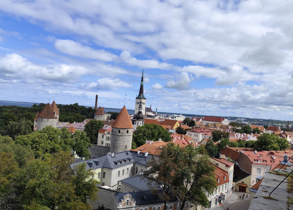
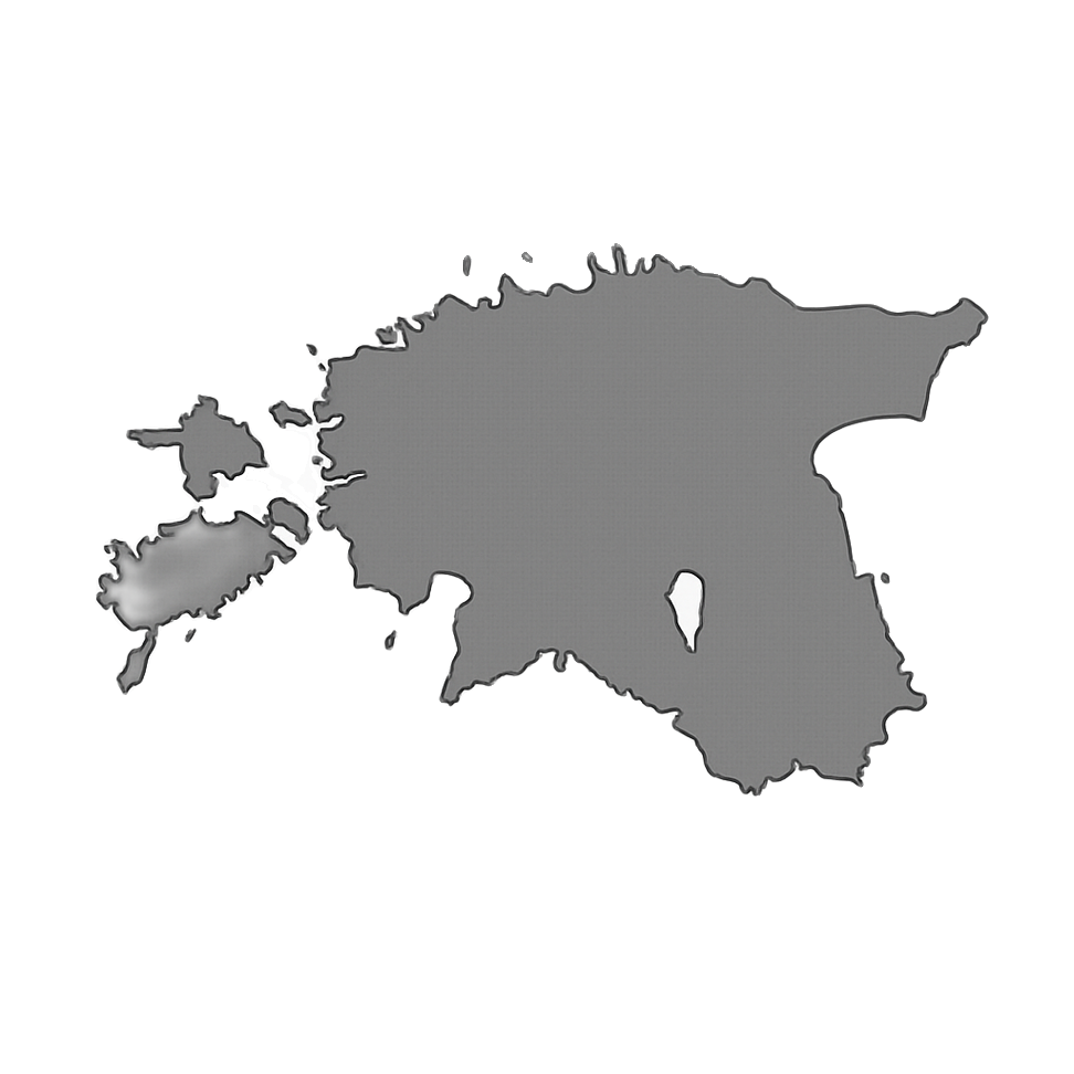
Discover Tallinn Old Town with MyTravis: a medieval spirit that surprises you at every step
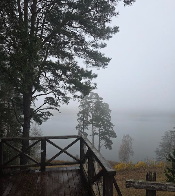
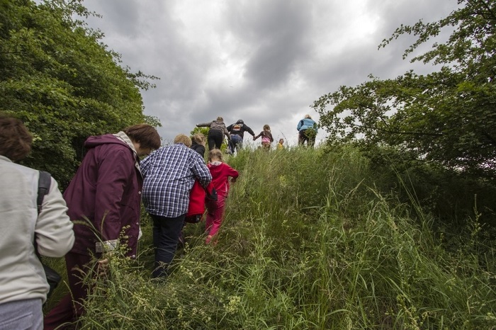
Women's hike through the mystery of the fog from Ginučiai Hillfort to Ladakalnis
The first women’s hiking club hike in Marcinkonys: nature’s beauty, legends, and togetherness in Dzūkija

Nature Trails in the Pärnu Region: A Journey Through Estonia’s Natural Treasures
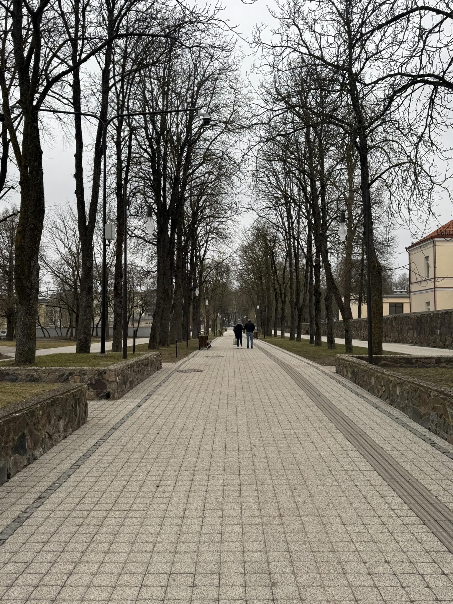
Šiauliai Chestnut Alley – a place where dozens of chestnut trees bloom
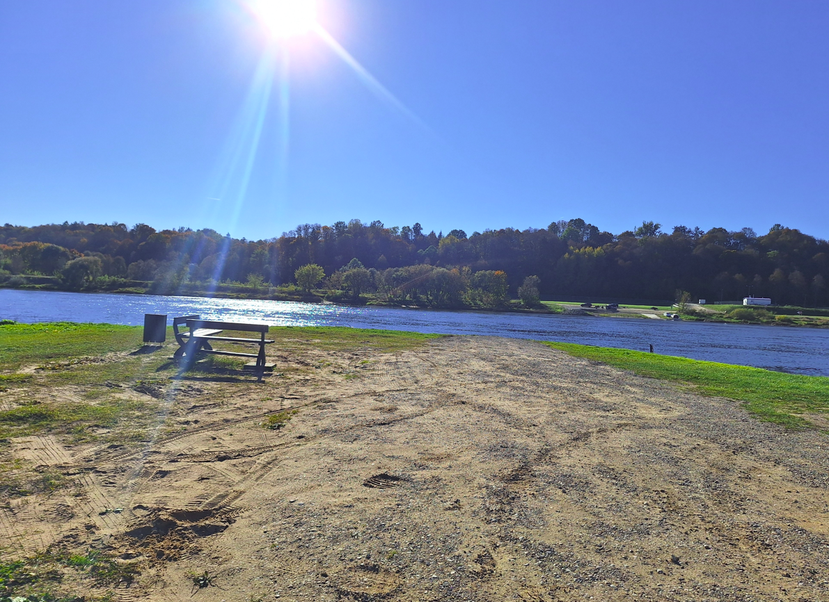
Kulautuva – the Pearl of the Nemunas Shore: What to See and Do?
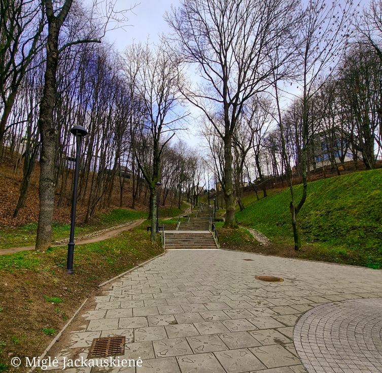
Kauko Stairs in Kaunas – Woven with Myths and Natural Beauty
Kaunas Beast: A City Symbol Shrouded in Legends
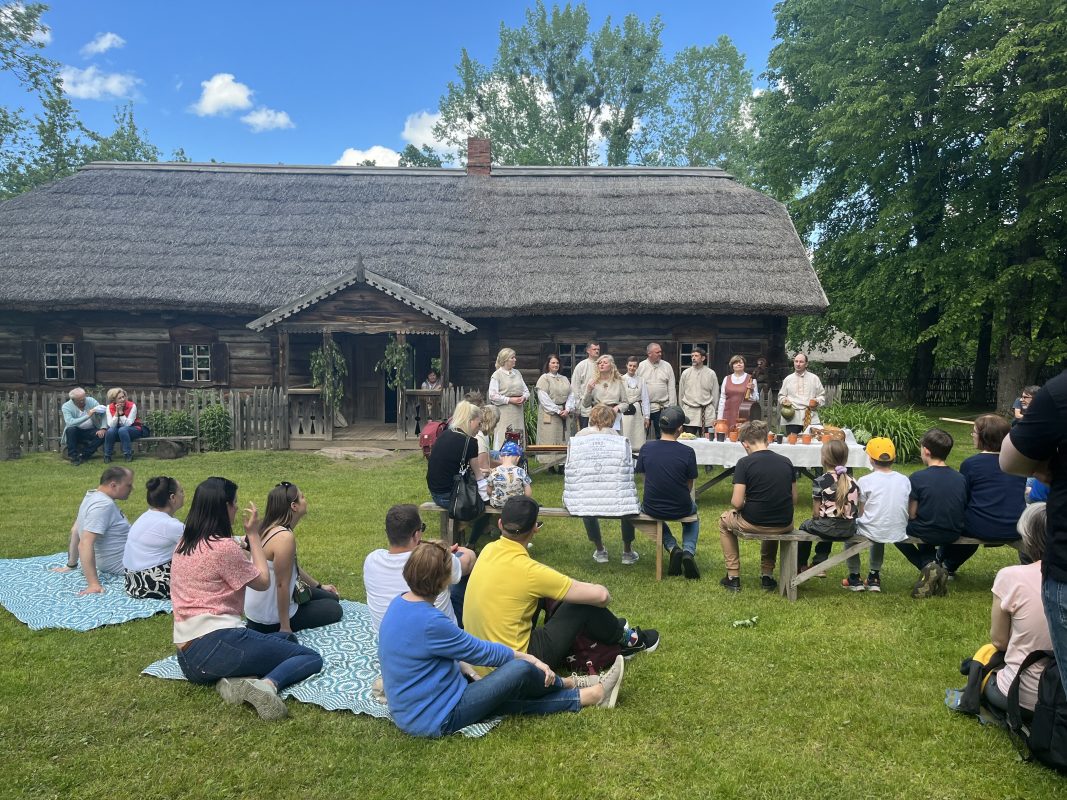
Nearby attractions


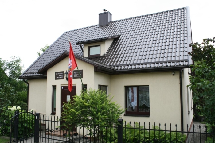
Nearest museums
Info
Mytravis
Cities
A life full of travel is a source of good mood!
© 2026 MyTravis - All rights reserved | Privacy policy