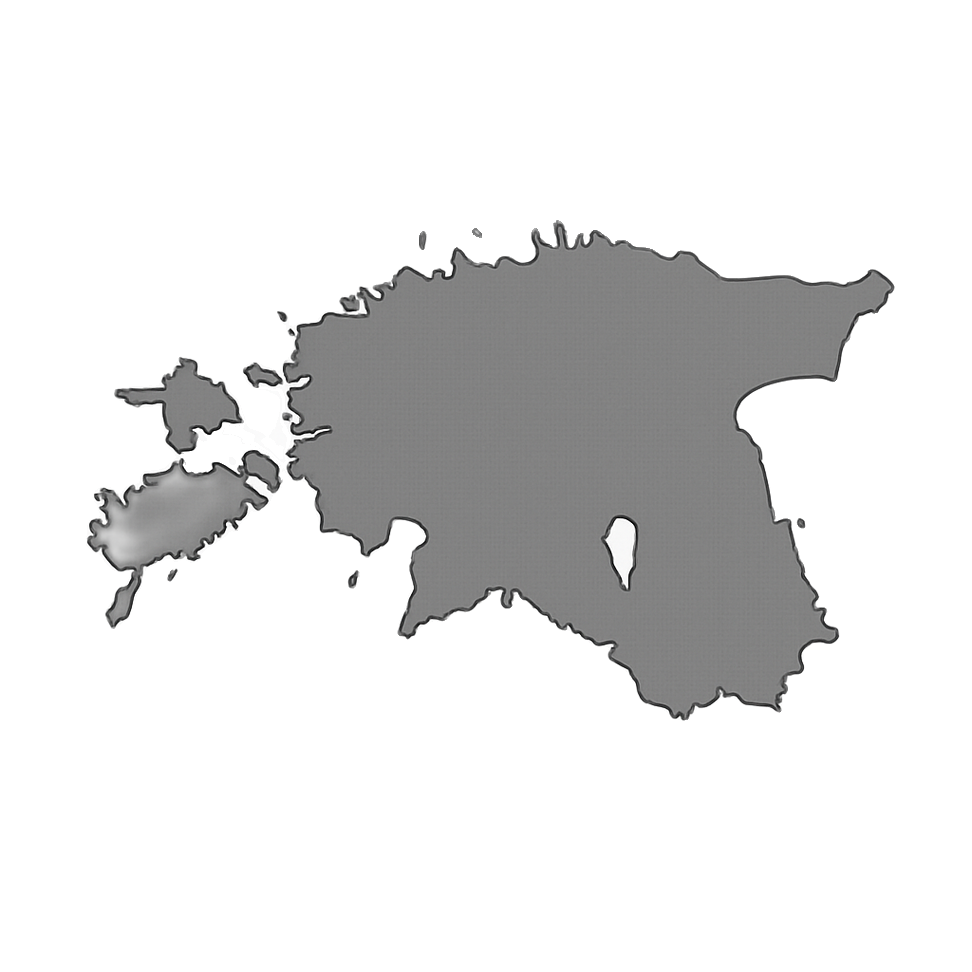
Entertainment
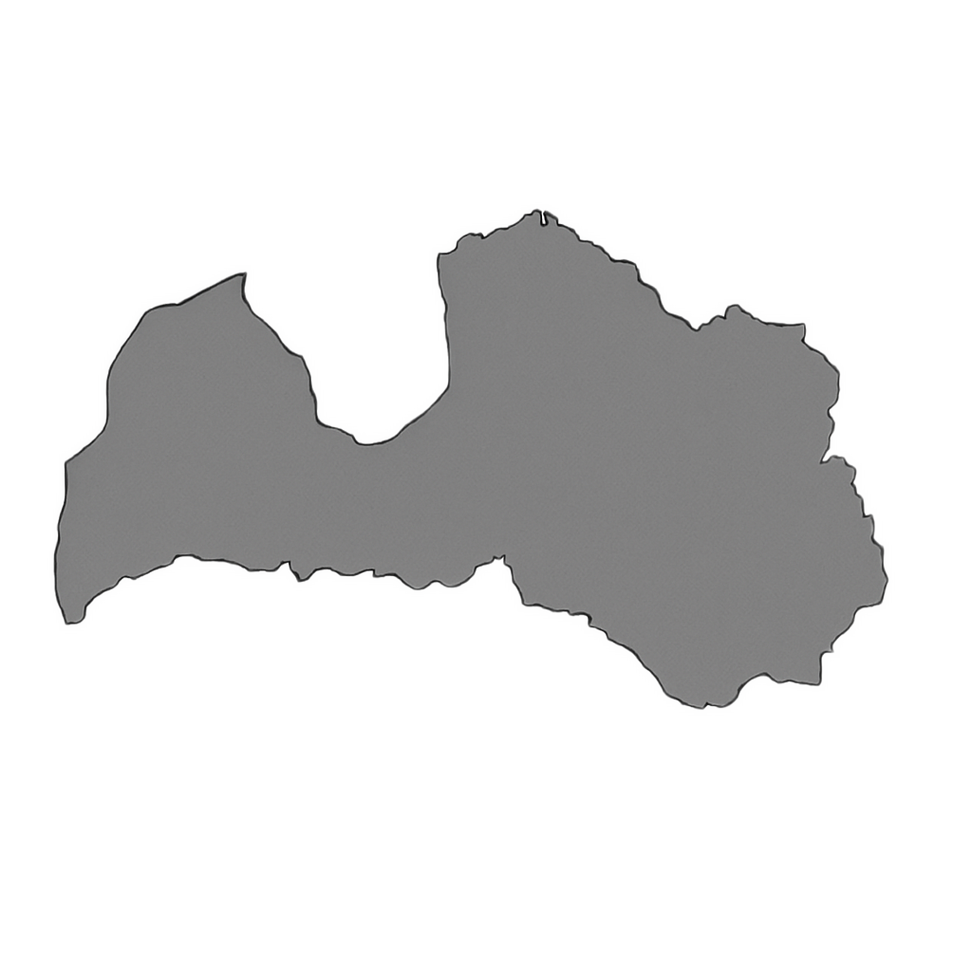
 Sightseeing
 Food establishments


Geodesy and Cartography Museum

949

0

0
0 out of 5
(0 reviews)
The Geodesy and Cartography Museum is a unique institution located within the premises of Upninkai School. Its founder, Associate Professor Antanas Ražinskas, dedicated many years to the fields of geodesy and geology as well as teaching at higher education institutions. Throughout his career, he amassed a valuable collection now exhibited in the museum.
Info
-

Museums
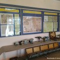
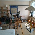
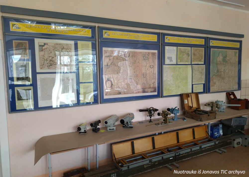
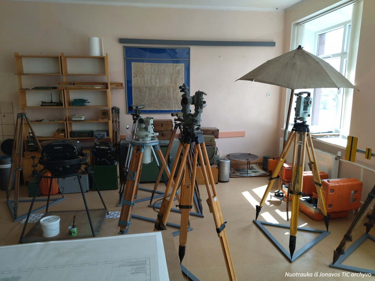
Established in 1999 at Ražinskas’ homestead, the museum was later relocated to Kaunas before returning to Upninkai in 2018 after privatization. The exhibits include a variety of historical geodetic instruments, such as leveling devices, theodolites, tacheometers, rangefinders, a plane table, measuring tools, map-drawing and calculation instruments, and even a camera used for aerial photography.
The museum stands out for its collection of unique devices, such as a German-made bubble level examiner and a 1932 planimeter. The exhibition also features a series of maps showcasing the evolution of cartography from the 16th to the 21st century. By prior arrangement with the exhibit caretaker, visitors can hear fascinating stories about land surveying, the measurements of the Struve Geodetic Arc, and other highlights of geodesy.
Found a mistake?
Report
Whats new?
2025-11-17
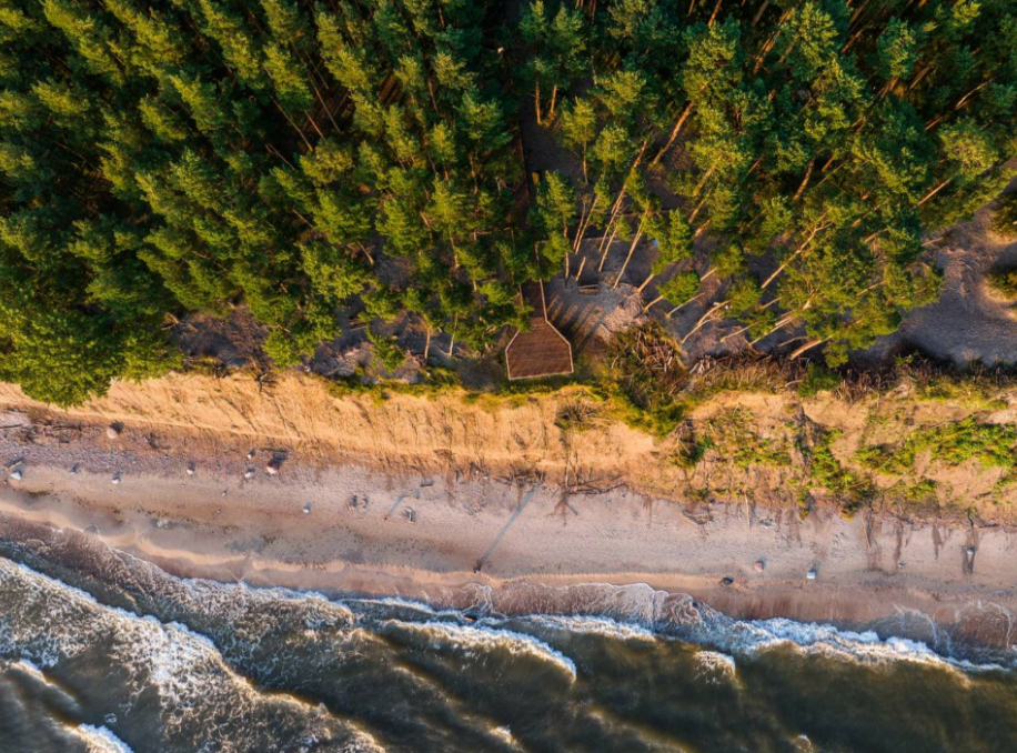
Three impressive Baltic seaside spots: Olando Kepurė, Veczemē Cliffs, Pakri Cliffs
The Baltic coast is a place where the land and the sea are in constant conversation. Where waves sha...
Read more
2025-11-13
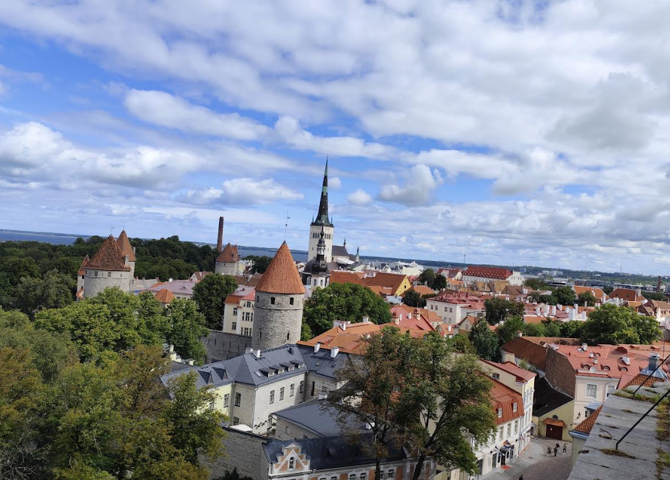
Discover Tallinn Old Town with MyTravis: a medieval spirit that surprises you at every step
Tallinn’s Old Town is like an open-air museum. A member of the MyTravis team, after visiting Estonia...
Read more
2025-11-12
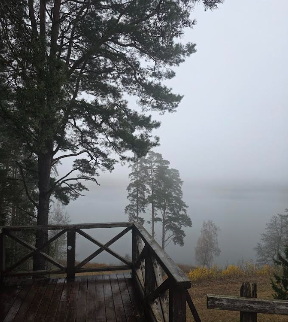
Women's hike through the mystery of the fog from Ginučiai Hillfort to Ladakalnis
The third Women's Hike was organized by the club's founder, Ada Vėtrė, whose idea to bring women tog...
Read more
2025-09-24
The first women’s hiking club hike in Marcinkonys: nature’s beauty, legends, and togetherness in Dzūkija
On September 20, the first Women’s Hiking Club hike took place in Marcinkonys, organized by the club...
Read more
2025-06-15
Nature Trails in the Pärnu Region: A Journey Through Estonia’s Natural Treasures
The Pärnu region of Estonia is renowned not only for its resort town and coastline but also for its...
Read more
2025-03-30
Šiauliai Chestnut Alley – a place where dozens of chestnut trees bloom
Chestnut Alley in Šiauliai – a unique spot in the heart of the city, where the beauty and delightful...
Read more
2025-03-29
Kulautuva – the Pearl of the Nemunas Shore: What to See and Do?
Kulautuva – a small but charming town in the Kaunas district, surrounded by pine forests and stretch...
Read more
2025-03-28
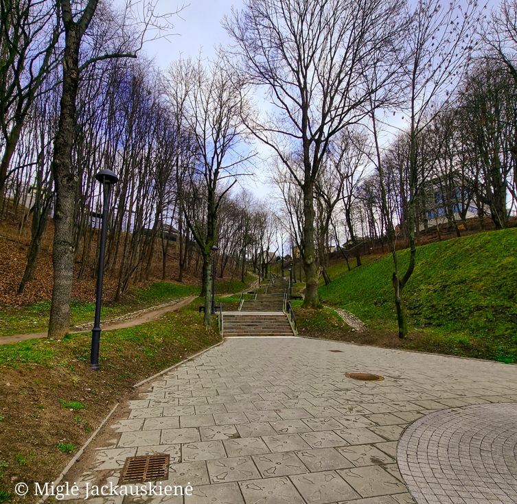
Kauko Stairs in Kaunas – Woven with Myths and Natural Beauty
Kauko Stairs – a favorite spot for both locals and visitors of Kaunas, where the extraordinary beaut...
Read more
2025-03-27
Kaunas Beast: A City Symbol Shrouded in Legends
Not every ordinary Kaunas resident knows what secrets lie behind the historic walls of Kaunas Castle...
Read more
Info
Mytravis
Cities
A life full of travel is a source of good mood!
© 2026 MyTravis - All rights reserved | Privacy policy