Entertainment
 Food establishments


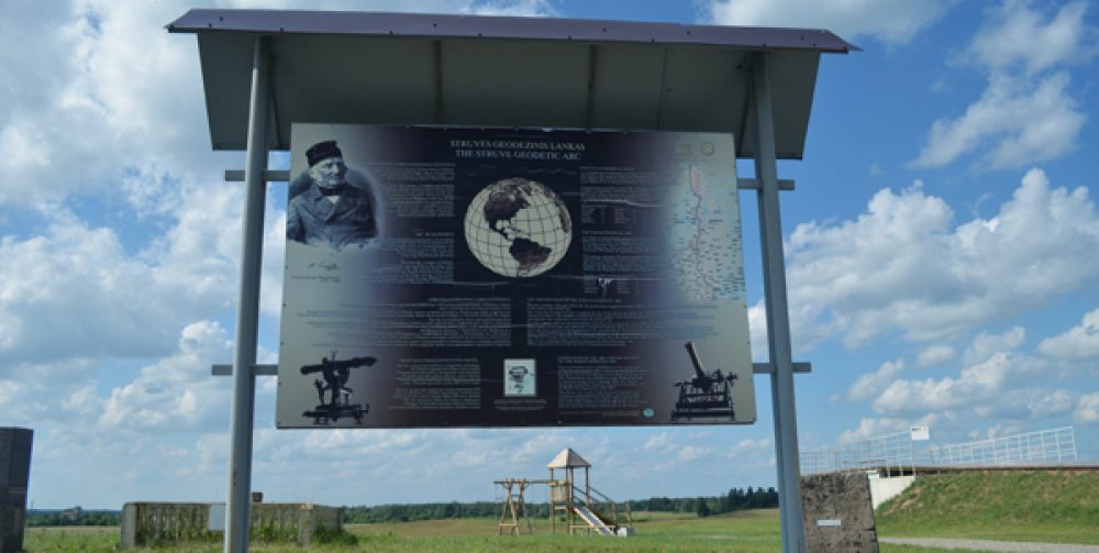
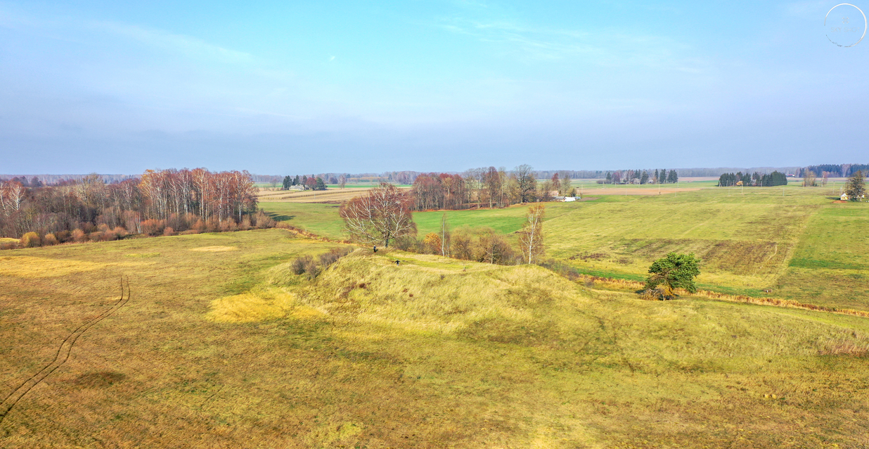
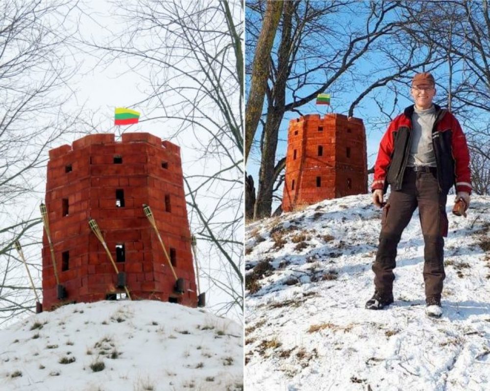
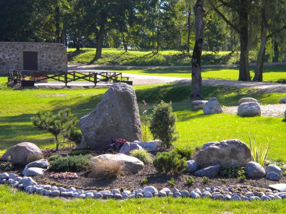
Gireišiai Point of the Struve Geodetic Arc

514

0

0
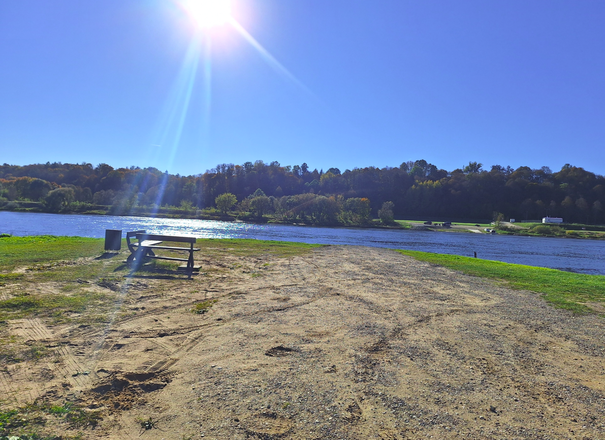
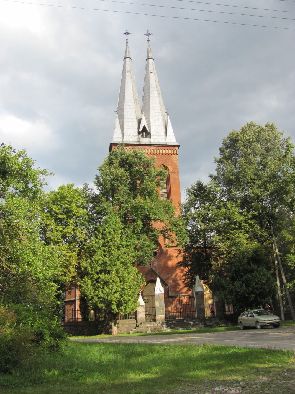
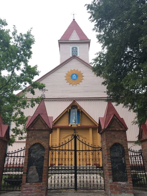
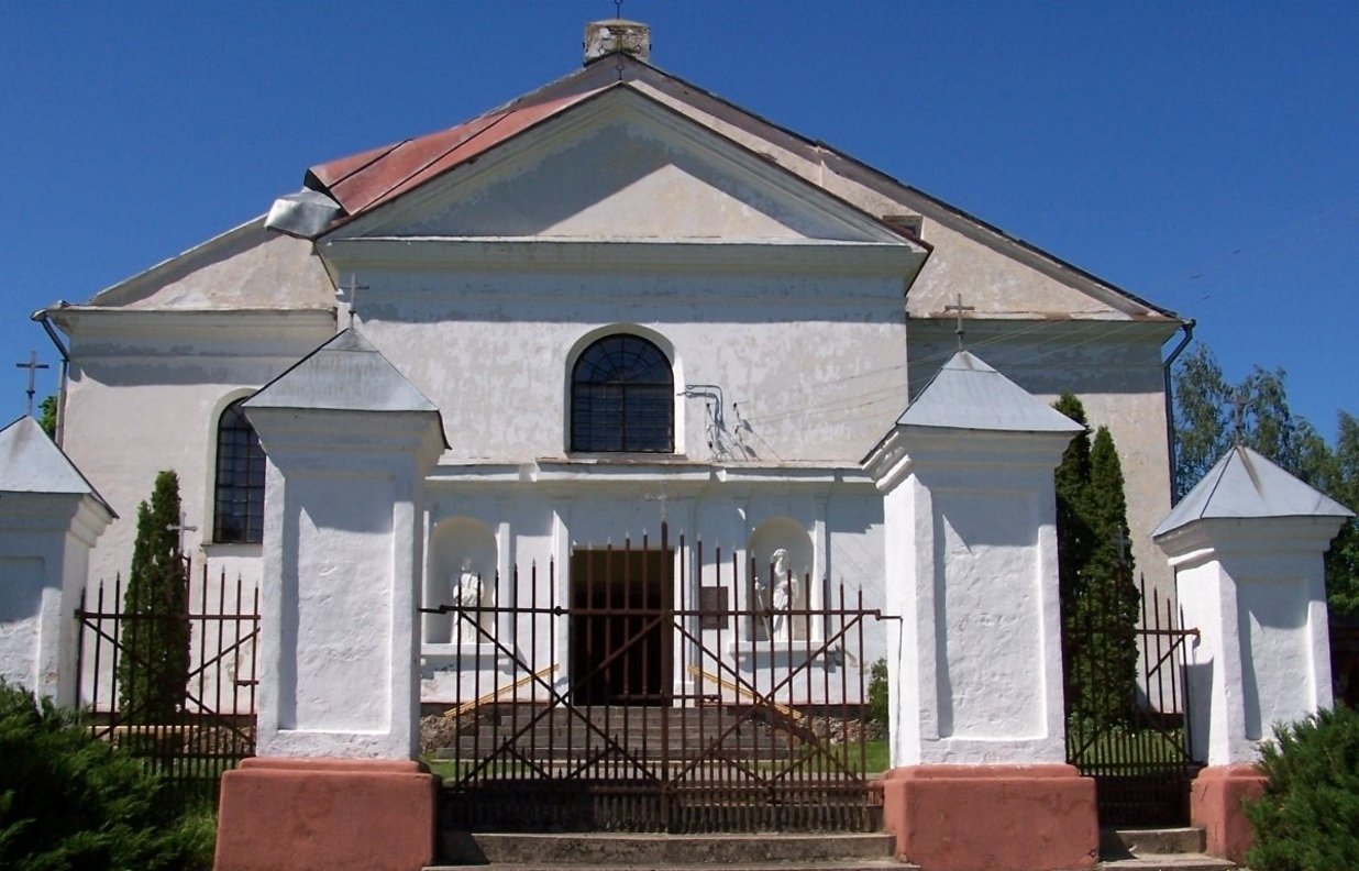
The Struve Geodetic Arc is a unique monument in the history of science, stretching across 10 countries from Norway to the Black Sea. In 2005, it was inscribed on the UNESCO World Heritage List for its significant contribution to accurately determining the Earth's dimensions and advancing cartography. In Lithuania, one of the key points was located in Pandėlys, Rokiškis District, where geodetic measurements began in 1820 under the leadership of Friedrich Struve. Other measurement points were established in Jokšiai (Kupiškis District) and Gireišiai, near Panemunėlis.
Info
-

Unique places
-

 55.902753, 25.436928
Whats new?
Three impressive Baltic seaside spots: Olando Kepurė, Veczemē Cliffs, Pakri Cliffs
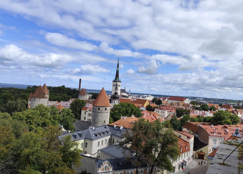
Discover Tallinn Old Town with MyTravis: a medieval spirit that surprises you at every step
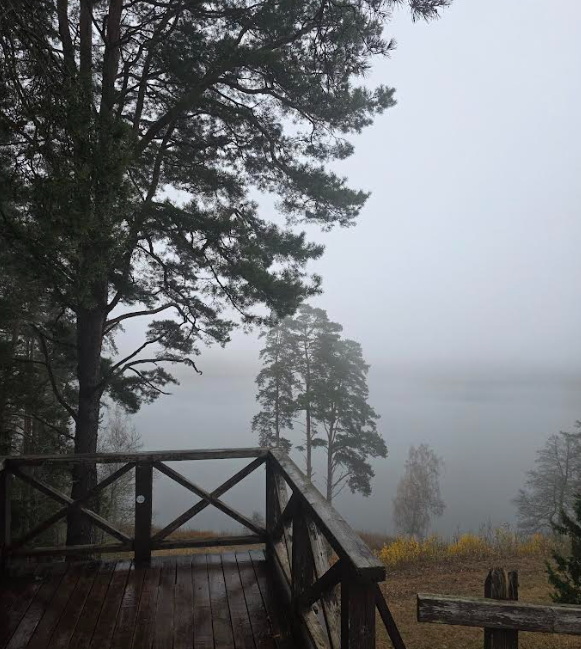
Women's hike through the mystery of the fog from Ginučiai Hillfort to Ladakalnis
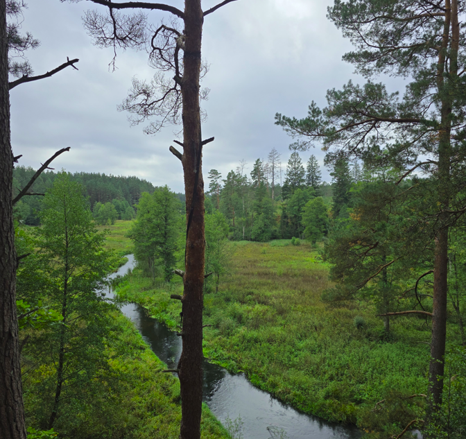
The first women’s hiking club hike in Marcinkonys: nature’s beauty, legends, and togetherness in Dzūkija

Nature Trails in the Pärnu Region: A Journey Through Estonia’s Natural Treasures
Šiauliai Chestnut Alley – a place where dozens of chestnut trees bloom
Kulautuva – the Pearl of the Nemunas Shore: What to See and Do?
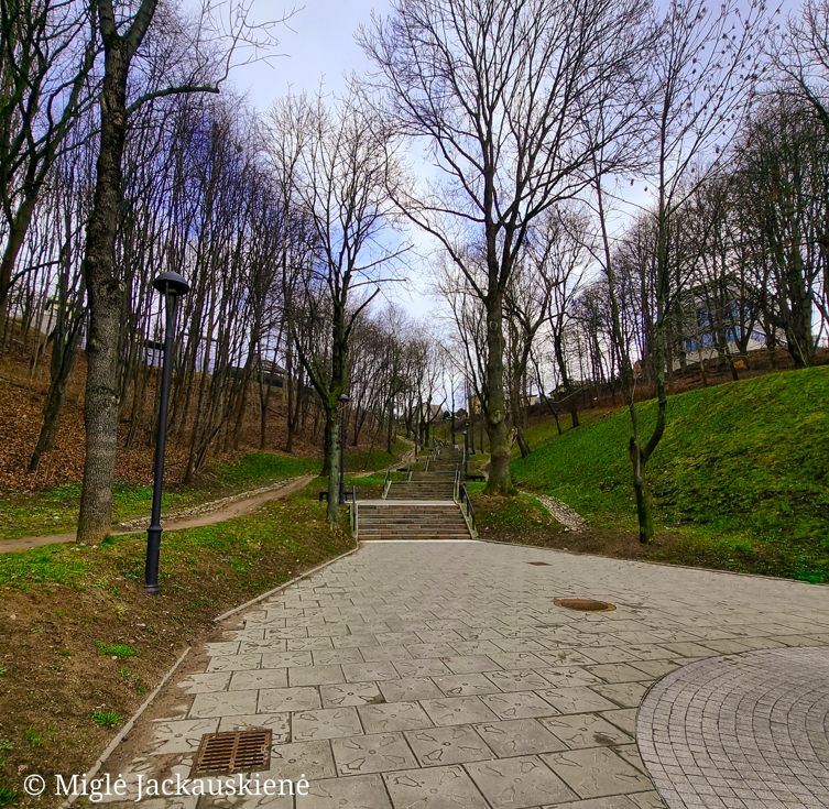
Kauko Stairs in Kaunas – Woven with Myths and Natural Beauty
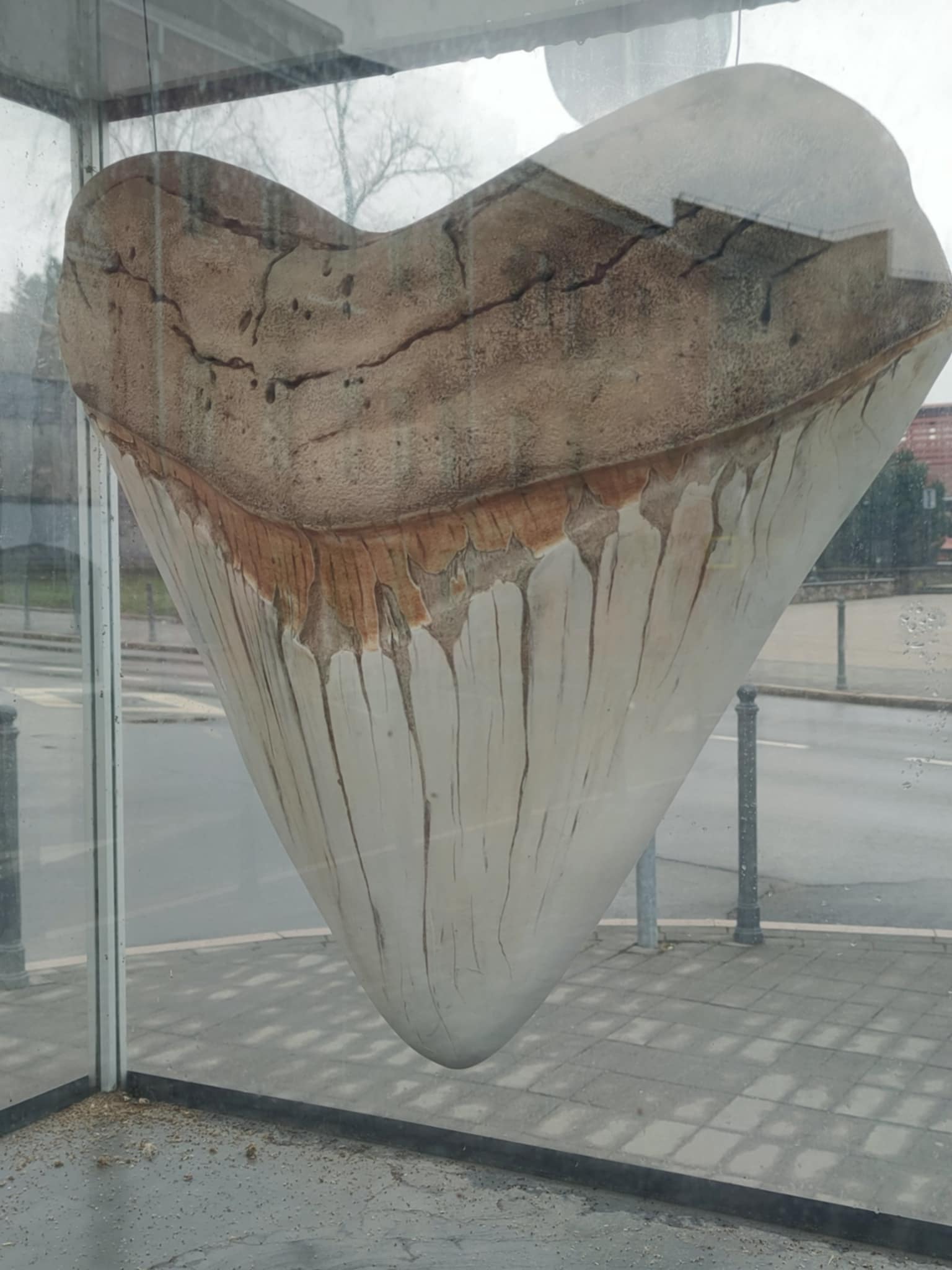
Kaunas Beast: A City Symbol Shrouded in Legends
Nearby attractions


Nearest museums


Info
Mytravis
Countries
A life full of travel is a source of good mood!
© 2026 MyTravis - All rights reserved | Privacy policy