Entertainment
 Sightseeing
 Food establishments


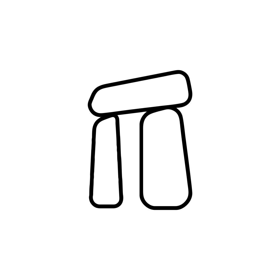


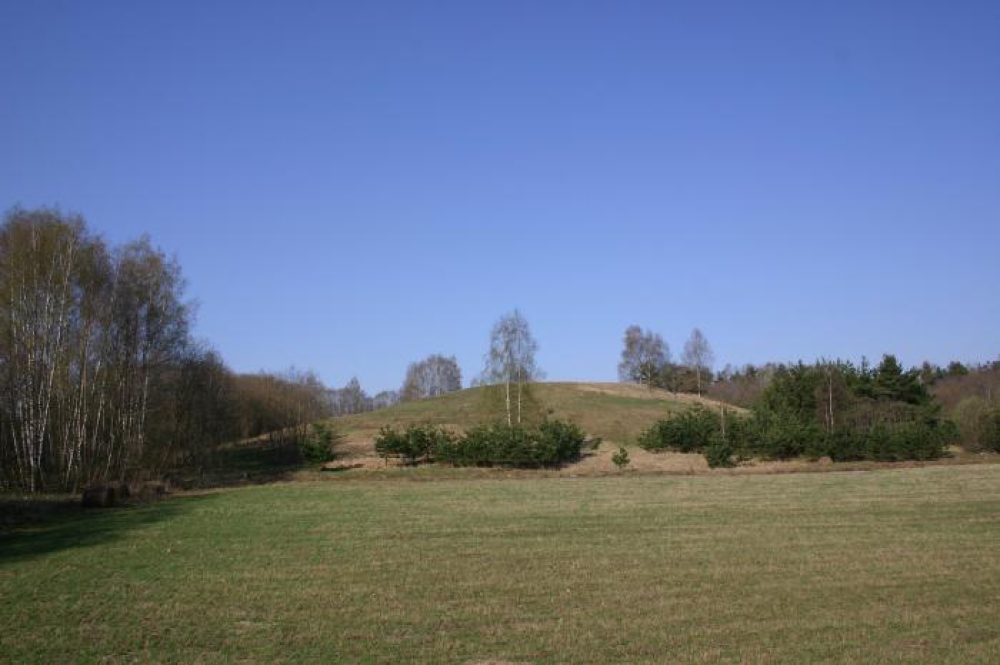
Baušiškiai Hillfort

420

0

0
0 out of 5
(0 reviews)
This hillfort, also known as Bogušiškiai, Radiščiai, or Piliakalnis, is situated on a hill at the edge of the valley on the right bank of the Audra Stream. Its oval, elongated platform is higher on the western edge. Archaeological findings of corded, rough, and smooth ceramics fragments testify to the existence of an ancient settlement. The southern slope features two terraces, with slopes reaching heights of up to 18 meters. The upper part of the slopes, 2–3 meters high, was artificially constructed.
Info
 55.846247, 25.599233
This hillfort, also known as Bogušiškiai, Radiščiai, or Piliakalnis, is situated on a hill at the edge of the valley on the right bank of the Audra Stream. Its oval, elongated platform is higher on the western edge. Archaeological findings of corded, rough, and smooth ceramics fragments testify to the existence of an ancient settlement. The southern slope features two terraces, with slopes reaching heights of up to 18 meters. The upper part of the slopes, 2–3 meters high, was artificially constructed.
Over time, the hillfort
has been partially damaged by plowing, and the slopes are now covered with pine trees, while the platform remains fallow. A settlement once existed at the southern foothill, covering an area of 0.5 hectares. About 100 meters to the southeast, a burial site from the 3rd–4th centuries CE was excavated in 1939, although it was later destroyed.
The hillfort is dated to the end of the 1st millennium BCE through the middle of the 1st millennium CE and is a valuable archaeological and historical heritage site in Lithuania.
Found a mistake?
Report
Whats new?
2025-11-17
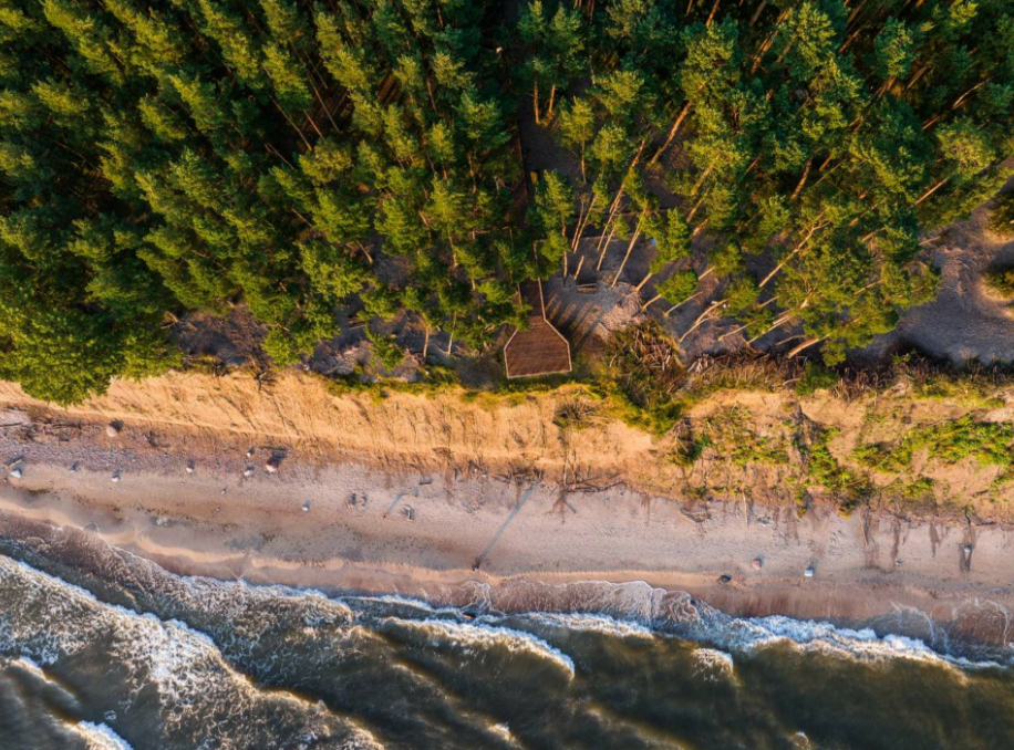
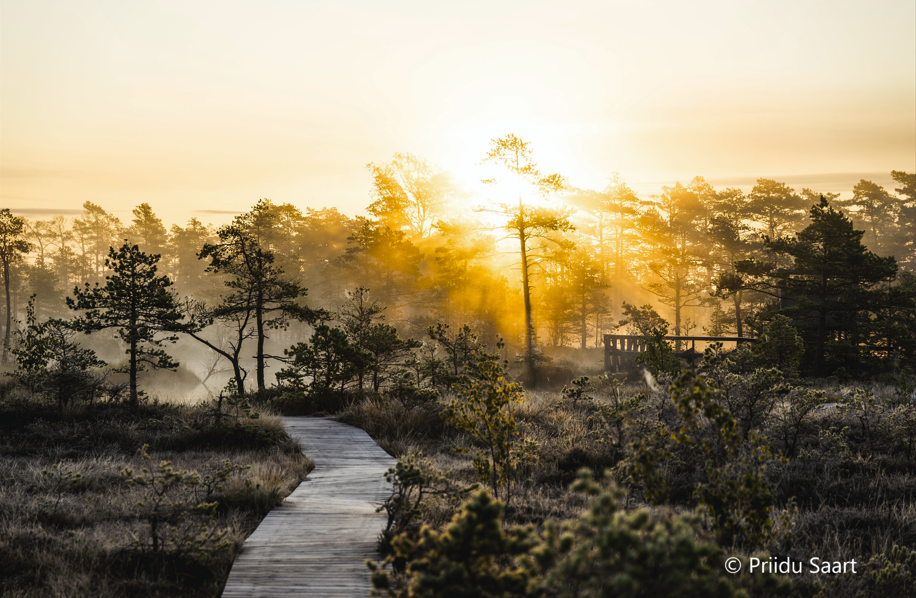
Three impressive Baltic seaside spots: Olando Kepurė, Veczemē Cliffs, Pakri Cliffs
The Baltic coast is a place where the land and the sea are in constant conversation. Where waves sha...
Read more
2025-11-13
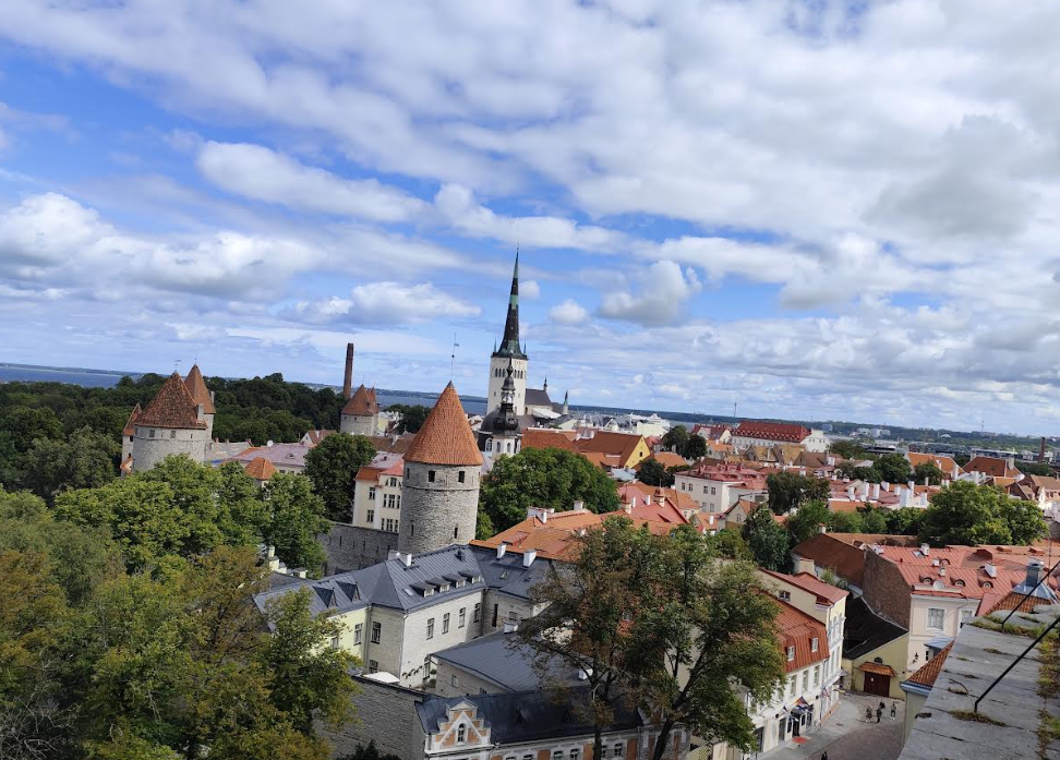
Discover Tallinn Old Town with MyTravis: a medieval spirit that surprises you at every step
Tallinn’s Old Town is like an open-air museum. A member of the MyTravis team, after visiting Estonia...
Read more
2025-11-12
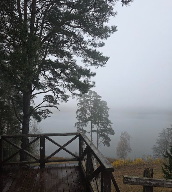
Women's hike through the mystery of the fog from Ginučiai Hillfort to Ladakalnis
The third Women's Hike was organized by the club's founder, Ada Vėtrė, whose idea to bring women tog...
Read more
2025-09-24
The first women’s hiking club hike in Marcinkonys: nature’s beauty, legends, and togetherness in Dzūkija
On September 20, the first Women’s Hiking Club hike took place in Marcinkonys, organized by the club...
Read more
2025-06-15
Nature Trails in the Pärnu Region: A Journey Through Estonia’s Natural Treasures
The Pärnu region of Estonia is renowned not only for its resort town and coastline but also for its...
Read more
2025-03-30
Šiauliai Chestnut Alley – a place where dozens of chestnut trees bloom
Chestnut Alley in Šiauliai – a unique spot in the heart of the city, where the beauty and delightful...
Read more
2025-03-29
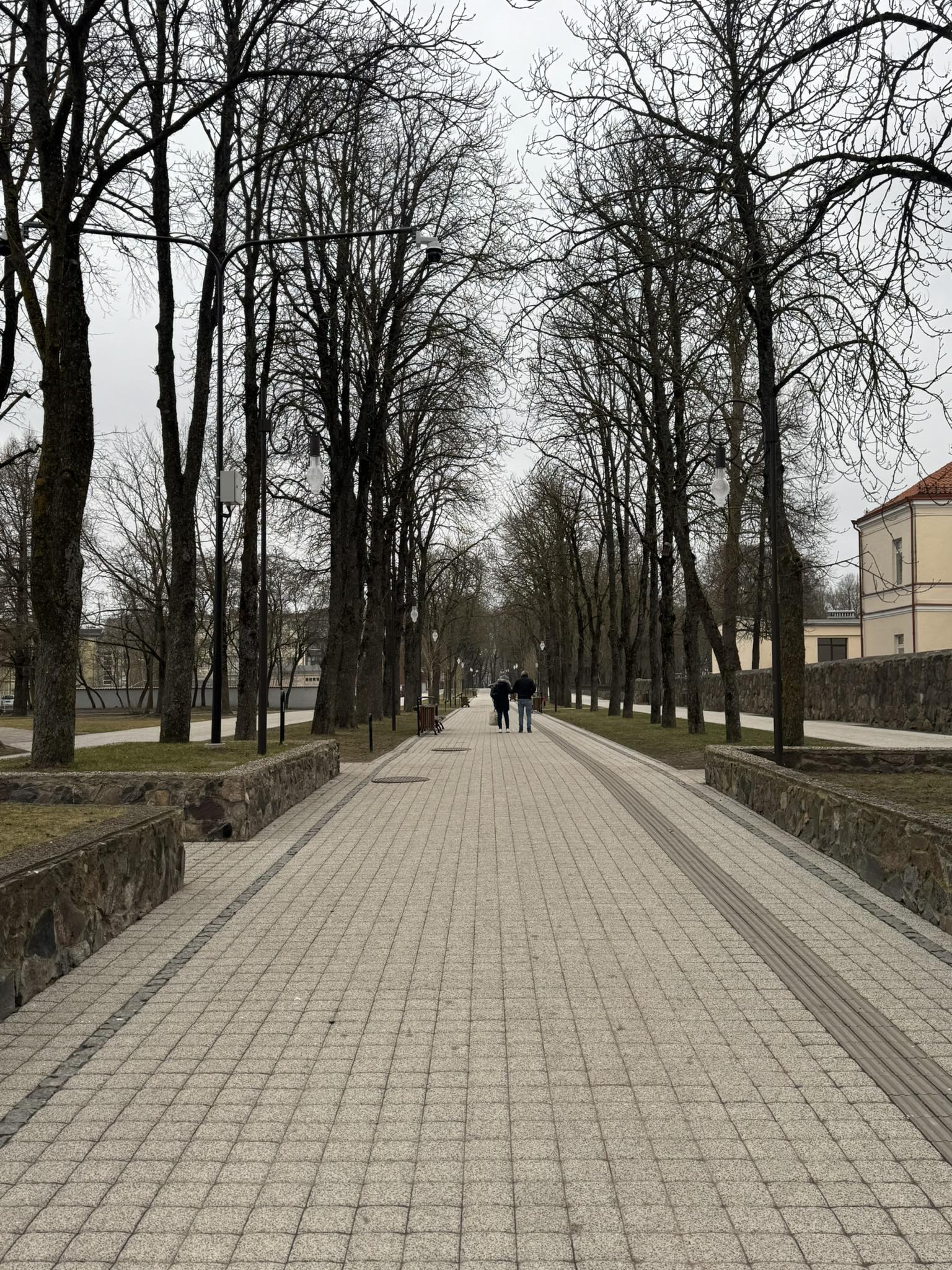
Kulautuva – the Pearl of the Nemunas Shore: What to See and Do?
Kulautuva – a small but charming town in the Kaunas district, surrounded by pine forests and stretch...
Read more
2025-03-28
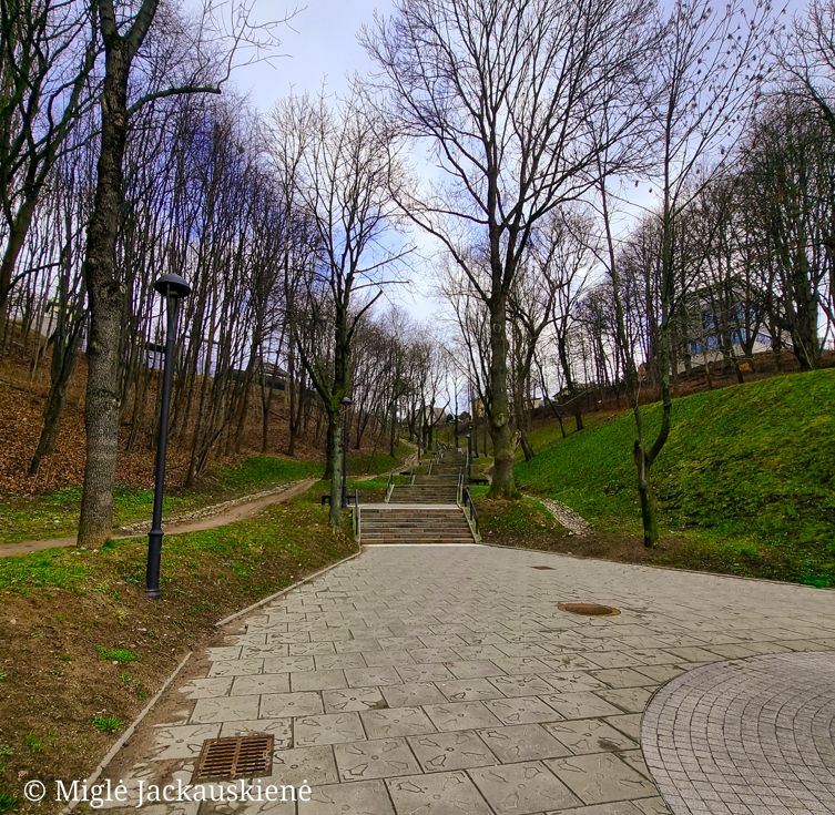
Kauko Stairs in Kaunas – Woven with Myths and Natural Beauty
Kauko Stairs – a favorite spot for both locals and visitors of Kaunas, where the extraordinary beaut...
Read more
2025-03-27
Kaunas Beast: A City Symbol Shrouded in Legends
Not every ordinary Kaunas resident knows what secrets lie behind the historic walls of Kaunas Castle...
Read more
Info
Mytravis
Cities
A life full of travel is a source of good mood!
© 2026 MyTravis - All rights reserved | Privacy policy