Entertainment
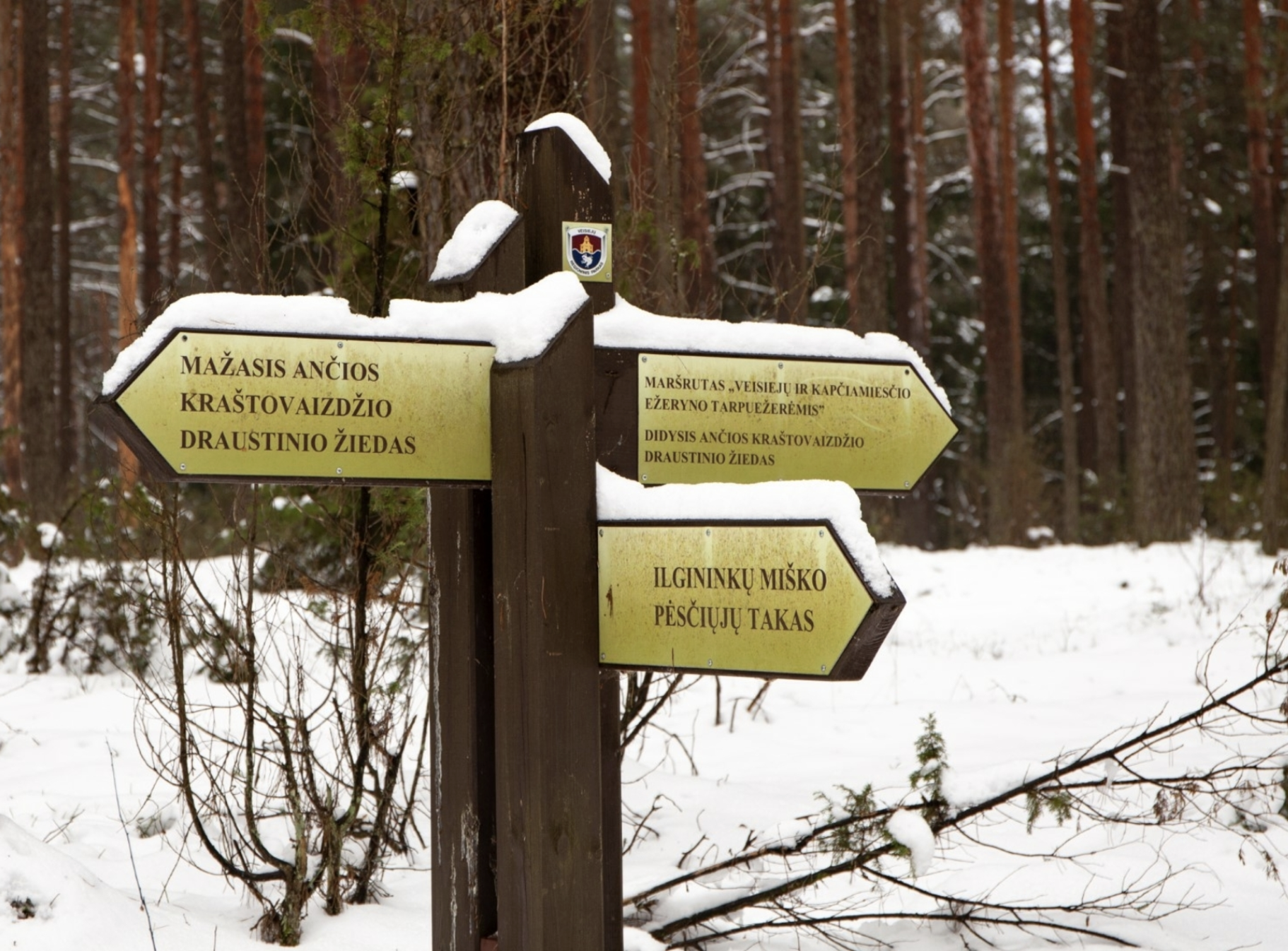
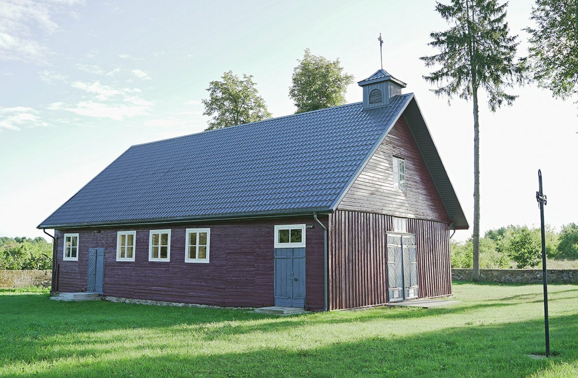
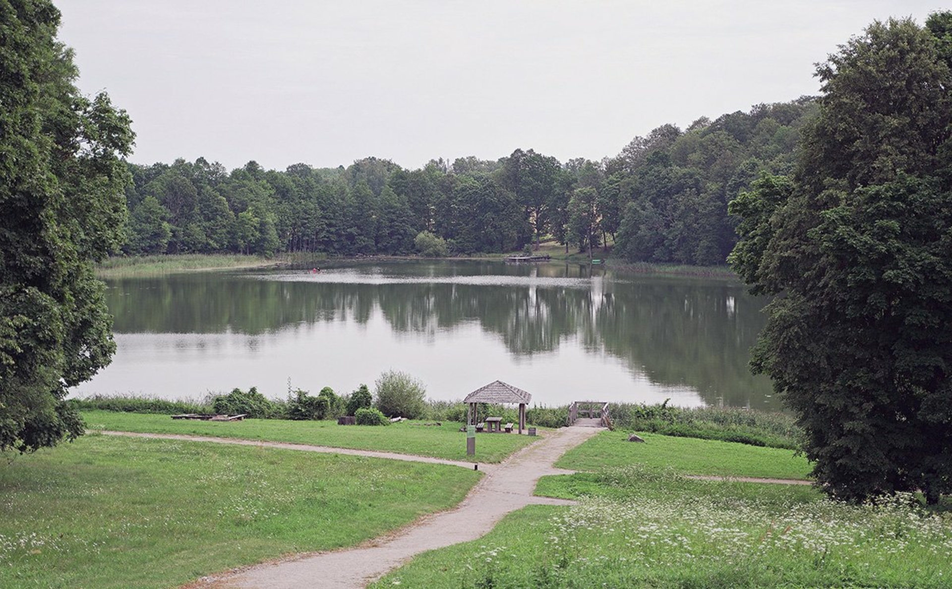
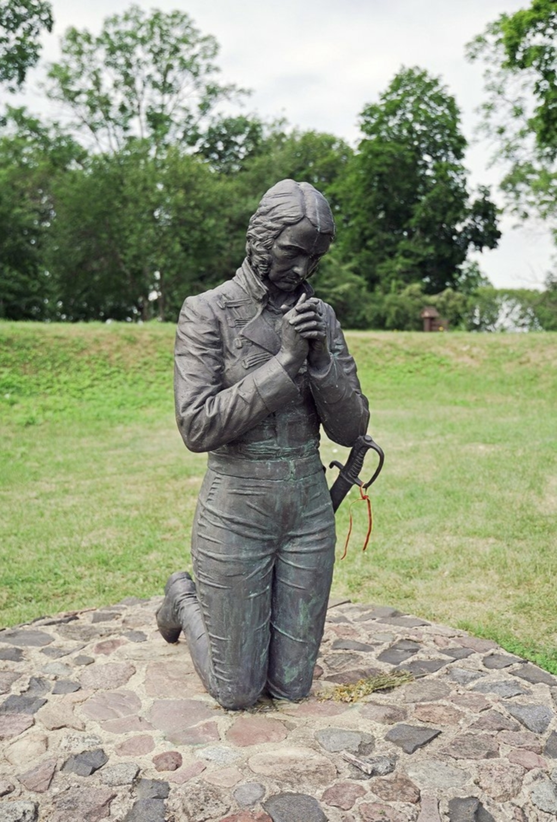
 Sightseeing
 Food establishments


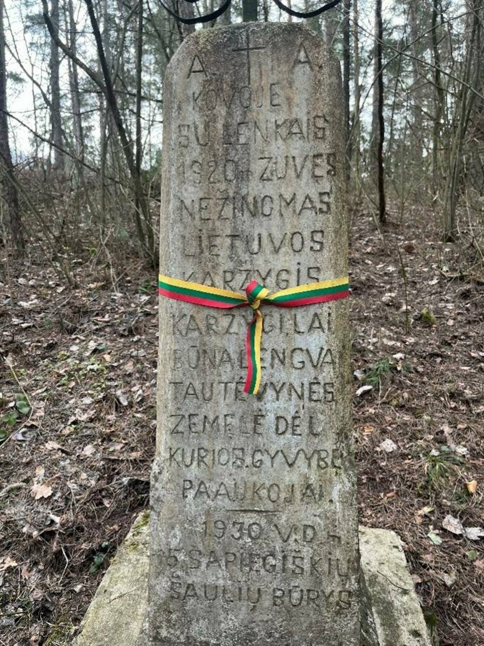
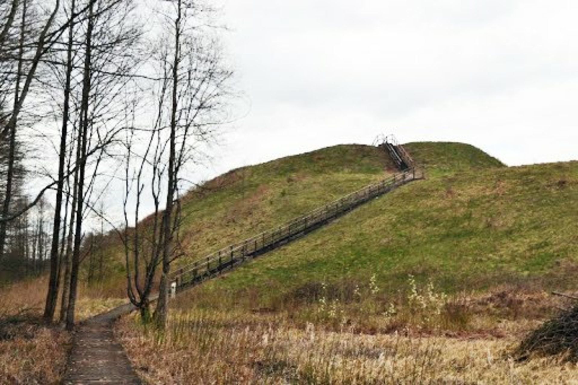
Ūdininkai Mound

432

0

0
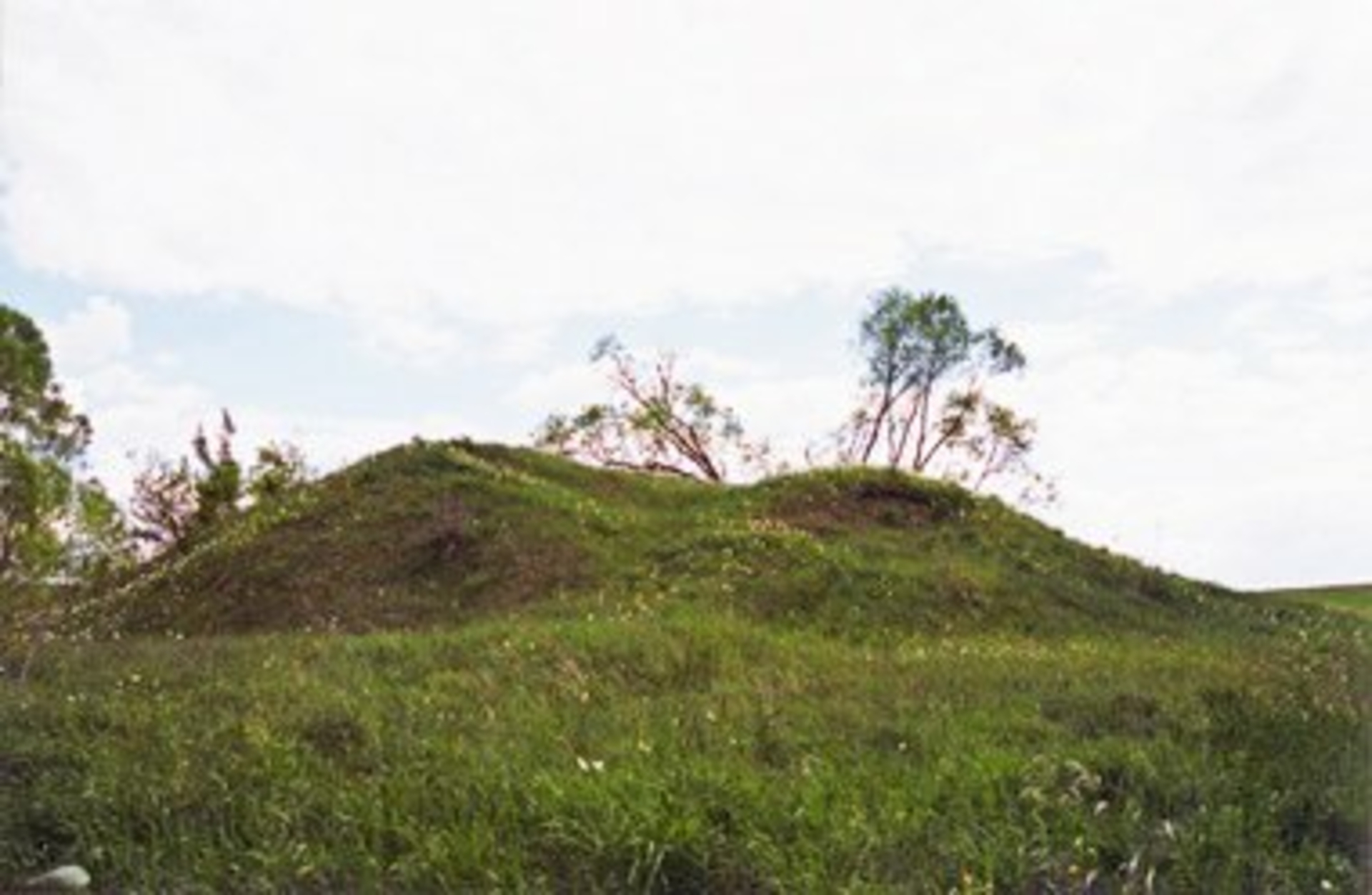
The mound is located in the Uidė Valley, on a distinctive hill where the platform is oval-shaped and elongated from south to north, measuring 12x10 meters. Most of this platform has been destroyed due to quarrying, leaving only the eastern part, which varies in width from 2 to 3.5 meters. The slopes have a moderate incline, reaching a height of 5 meters. In 2001, specialists from the Cultural Heritage Center conducted exploratory research, during which it was determined that this mound conceals an ancient settlement. This site is dated to the Stone Age. During archaeological investigations, a flint flake was found in the settlement area, which is now housed in the Lithuanian National Museum. The territory of the Ūdininkai ancient settlement covers an area of 0.52 hectares.
Info
 54.202736, 23.422256
Whats new?
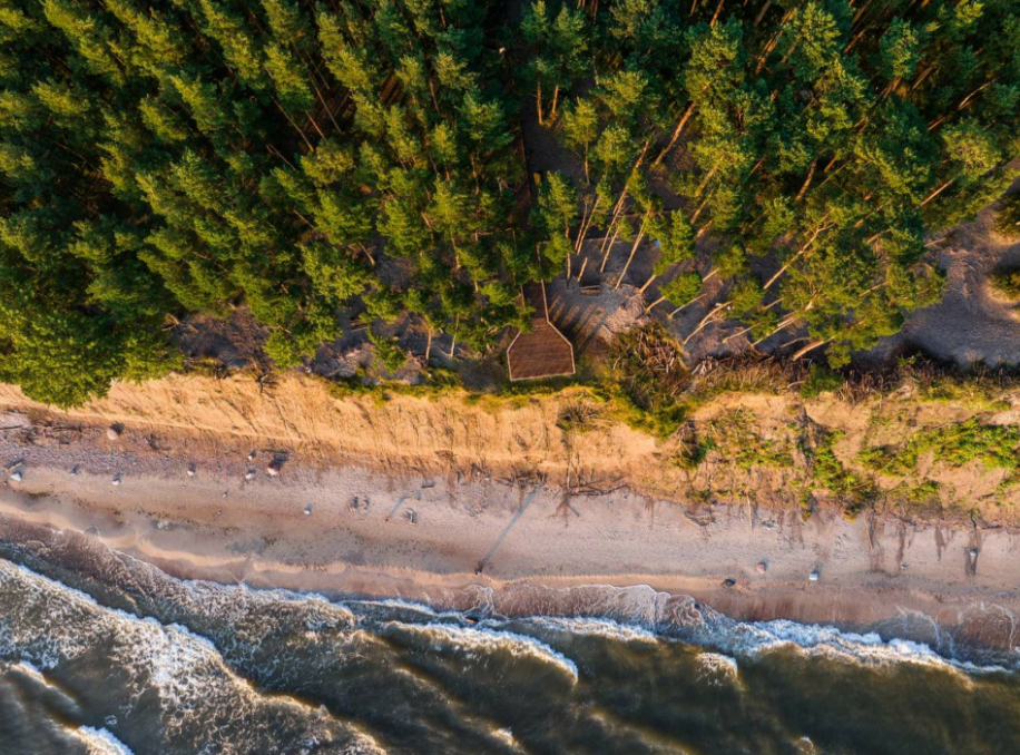
Three impressive Baltic seaside spots: Olando Kepurė, Veczemē Cliffs, Pakri Cliffs
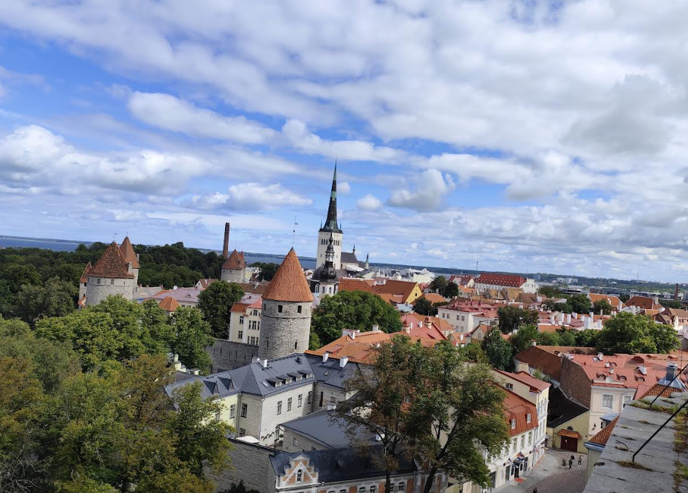
Discover Tallinn Old Town with MyTravis: a medieval spirit that surprises you at every step
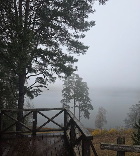
Women's hike through the mystery of the fog from Ginučiai Hillfort to Ladakalnis
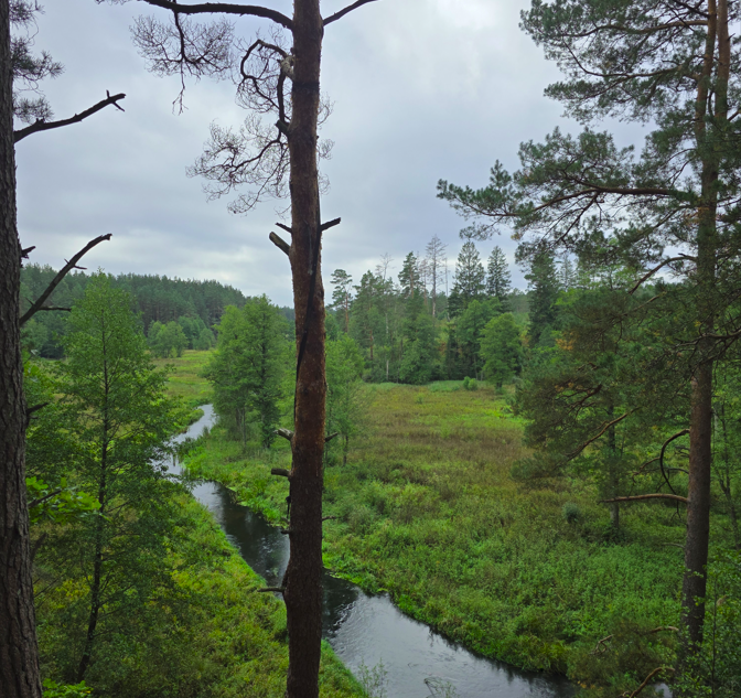
The first women’s hiking club hike in Marcinkonys: nature’s beauty, legends, and togetherness in Dzūkija

Nature Trails in the Pärnu Region: A Journey Through Estonia’s Natural Treasures
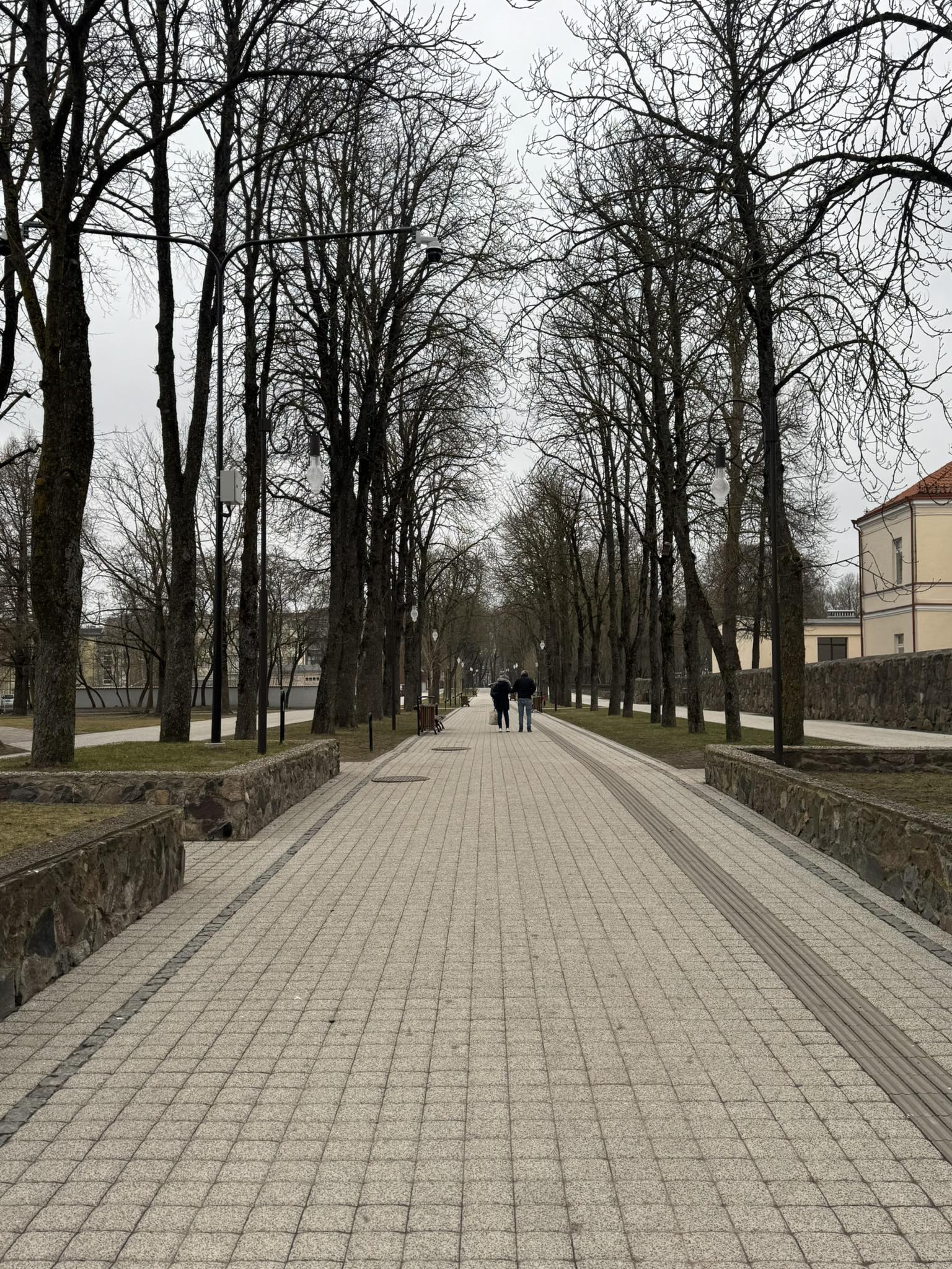
Šiauliai Chestnut Alley – a place where dozens of chestnut trees bloom
Kulautuva – the Pearl of the Nemunas Shore: What to See and Do?
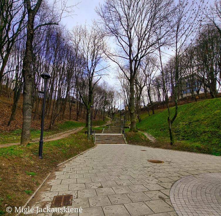
Kauko Stairs in Kaunas – Woven with Myths and Natural Beauty
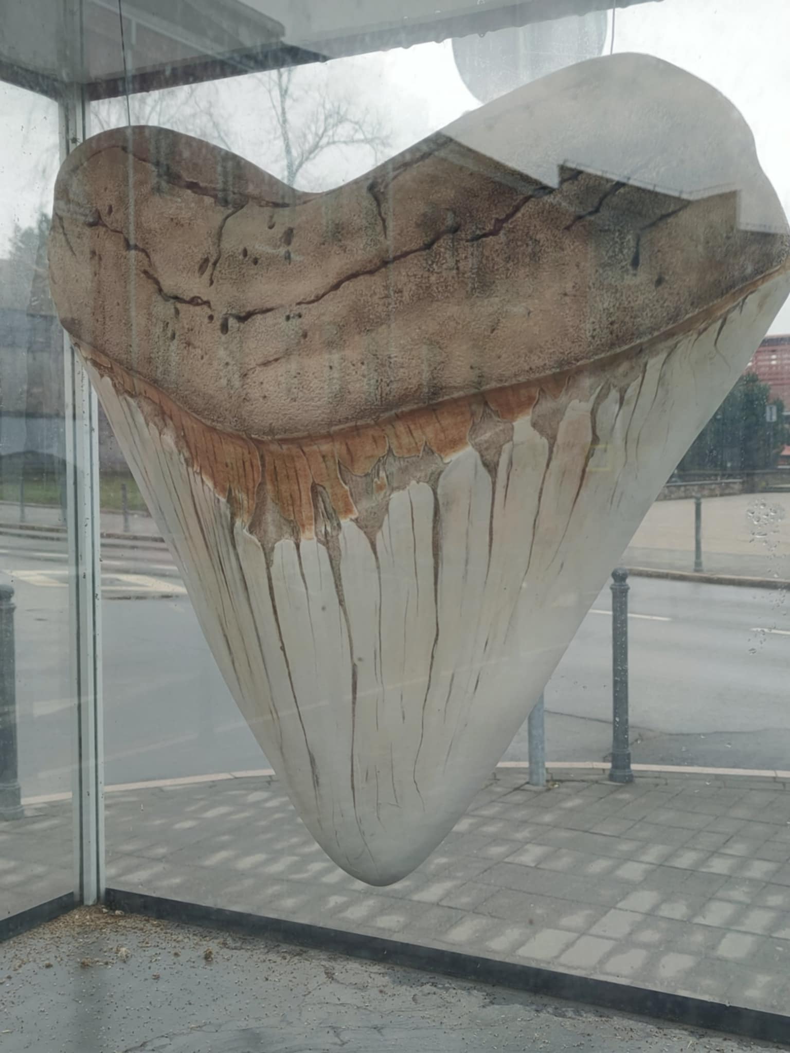
Kaunas Beast: A City Symbol Shrouded in Legends
Nearby attractions


Nearest museums


Info
Mytravis
Countries
A life full of travel is a source of good mood!
© 2026 MyTravis - All rights reserved | Privacy policy